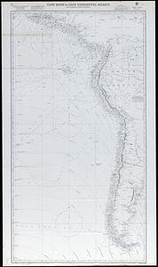
21. Cape Horn to Cape Corrientes, Mexico Format: Maps/Atlases Collection: Map and Chart Collection Date: (c) 1960 Institution: New Bedford Free Public Library
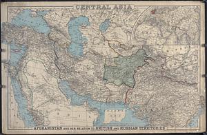
22. Central Asia : Afghanistan and her relation to British and Russian Territories Format: Maps/Atlases Collection: Map and Chart Collection Date: 1885 Institution: New Bedford Free Public Library
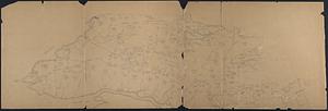
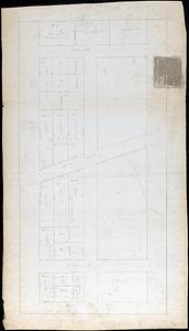
23. Central Westport Homesteads (Crane Survey) Format: Maps/Atlases; Manuscripts Collection: Map and Chart Collection Date: [ca. 1840–1890] Institution: New Bedford Free Public Library
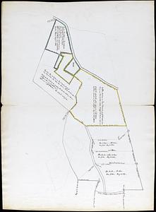
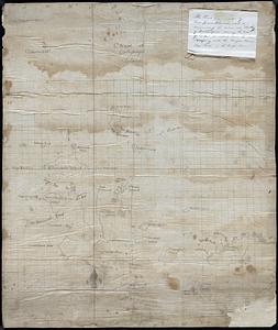
24. Chadwich Farms Creator: Crapo, Henry Howland, 1804-1869 Format: Maps/Atlases; Manuscripts Collection: Map and Chart Collection Date: 1824 Institution: New Bedford Free Public Library
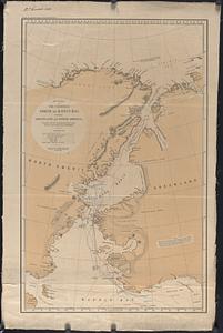
25. The Channels North of Baffin Bay between Greenland and North America, compiled from the observations by the latest American and British Arctic Expeditions Creator: United States. Hydrographic Office Format: Maps/Atlases Collection: Map and Chart Collection Date: 1884 Institution: New Bedford Free Public Library
26. Charles R. Pease Lots - Shawmut Ave Format: Maps/Atlases; Manuscripts Collection: Map and Chart Collection Date: [ca. 1800–1899] Institution: New Bedford Free Public Library
27. Chart of a part of the North Eastern Coast of America and its adjacent Islands shewing the track and discoveries of his Majesty's ships Fury and Hecla in search of a... Format: Maps/Atlases Collection: Map and Chart Collection Date: 1823 Institution: New Bedford Free Public Library
28. Chart of Gallapagos Islands Format: Maps/Atlases; Manuscripts Collection: Map and Chart Collection Date: [1800–1839] Institution: New Bedford Free Public Library
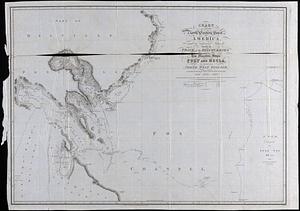
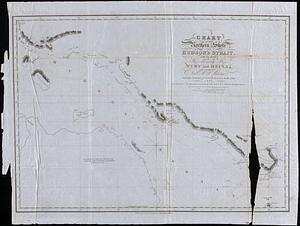
29. Chart of Northern Shore of Hudson's Strait with the route of his Majesty's ships Fury and Hecla in search of a North West passage under the command of Capt. W.E. Perry... Format: Maps/Atlases Collection: Map and Chart Collection Date: 1821 Institution: New Bedford Free Public Library
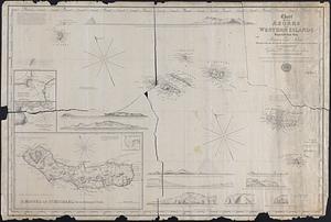
30. Chart of the Azores or Western Islands Improved from those of Fleurien and Tolino with the Rectification of longitude given in Purdy's Memoir on the Atlantic, as... Format: Maps/Atlases Collection: Map and Chart Collection Date: 1842 Institution: New Bedford Free Public Library
31. Chart of the Coast of China and of the Japan Islands including the Marianes and a part of the Philippines Creator: Maury, William L. Format: Maps/Atlases Collection: Map and Chart Collection Date: 1855 Institution: New Bedford Free Public Library
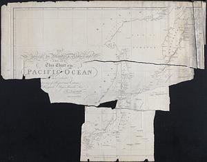
32. Chart of the Pacific Ocean Creator: Arrowsmith, Aaron, 1750-1823 Format: Maps/Atlases Collection: Map and Chart Collection Date: [1798] Institution: New Bedford Free Public Library
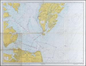
33. Chesapeake Bay Entrance Format: Maps/Atlases Collection: Map and Chart Collection Date: 1965 Institution: New Bedford Free Public Library
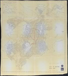
34. City of Boston Base Map Creator: Boston Redevelopment Authority Format: Maps/Atlases Collection: Map and Chart Collection Date: 1972 Institution: New Bedford Free Public Library
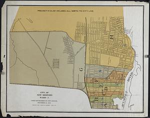
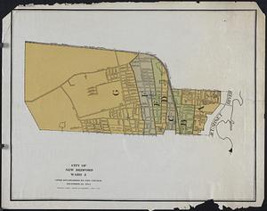
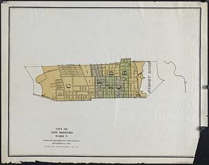
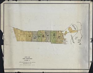
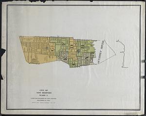
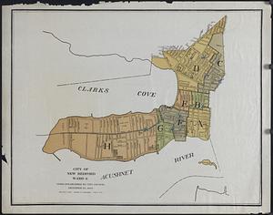
35. City of New Bedford Wards Format: Maps/Atlases Collection: Map and Chart Collection Date: 1921 Institution: New Bedford Free Public Library
36. City of New Bedford Wards Format: Maps/Atlases Collection: Map and Chart Collection Date: 1921 Institution: New Bedford Free Public Library
37. City of New Bedford Wards Format: Maps/Atlases Collection: Map and Chart Collection Date: 1921 Institution: New Bedford Free Public Library
38. City of New Bedford Wards Format: Maps/Atlases Collection: Map and Chart Collection Date: 1921 Institution: New Bedford Free Public Library
39. City of New Bedford Wards Format: Maps/Atlases Collection: Map and Chart Collection Date: 1921 Institution: New Bedford Free Public Library
40. City of New Bedford Wards Format: Maps/Atlases Collection: Map and Chart Collection Date: 1921 Institution: New Bedford Free Public Library