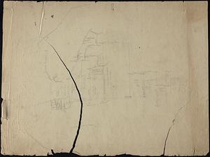
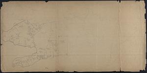
141. Recreation of Crane Survey Maps Format: Maps/Atlases; Manuscripts Collection: Map and Chart Collection Date: 1800–1899 Institution: New Bedford Free Public Library
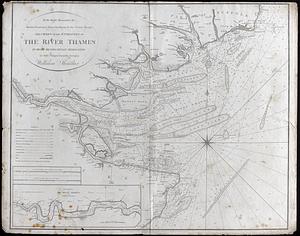
142. The River Thames Creator: Heather, William, 1764-1812 Format: Maps/Atlases Collection: Map and Chart Collection Date: 1797 Institution: New Bedford Free Public Library
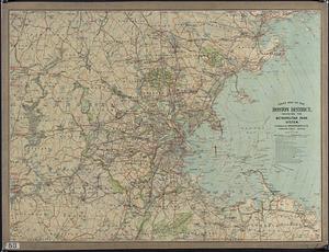
143. Road Map of the Boston District showing the Metropolitan park system Format: Maps/Atlases Collection: Map and Chart Collection Date: (c) 1902 Institution: New Bedford Free Public Library
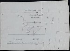
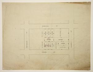
144. Rockland and County Streets Format: Maps/Atlases; Manuscripts Collection: Map and Chart Collection Date: [1883] Institution: New Bedford Free Public Library
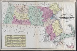
145. Russell's map of Massachusetts Creator: J. Mayer & Co. Format: Maps/Atlases Collection: Map and Chart Collection Date: 1874 Institution: New Bedford Free Public Library
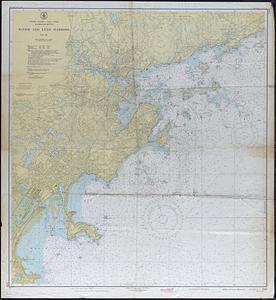
146. Salem and Lynn Harbor Creator: U.S. Coast and Geodetic Survey Format: Maps/Atlases Collection: Map and Chart Collection Date: 1948 Institution: New Bedford Free Public Library
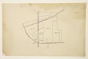
147. Sixteen Shilling Purchase Format: Maps/Atlases; Manuscripts Collection: Map and Chart Collection Date: 1867 Institution: New Bedford Free Public Library
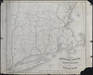
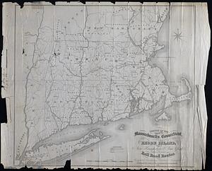
148. Sketch of the states of Massachusetts, Connecticut, and Rhode Island, New Hampshire and New York exhibiting the railroad routes Format: Maps/Atlases Collection: Map and Chart Collection Date: 1838 Institution: New Bedford Free Public Library
149. Sketch of the states of Massachusetts, Connecticut, and Rhode Island, New Hampshire and New York exhibiting the railroad routes Creator: Morse and Tuttle Format: Maps/Atlases Collection: Map and Chart Collection Date: 1838 Institution: New Bedford Free Public Library
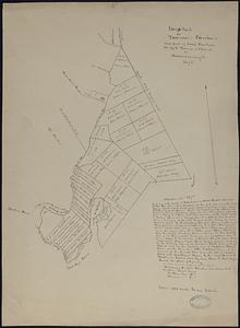
150. Snipetuet or Tomson's Purchase Format: Maps/Atlases; Manuscripts Collection: Map and Chart Collection Date: [1695?] Institution: New Bedford Free Public Library
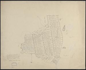
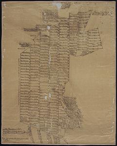
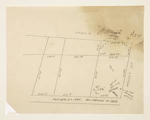
151. South Purchase Lots - Middleborough, MA Format: Maps/Atlases; Manuscripts Collection: Map and Chart Collection Date: [1800–1899] Institution: New Bedford Free Public Library
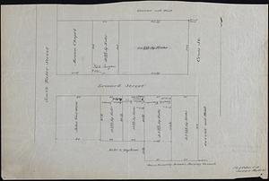
152. South Water and Leonard Streets Format: Maps/Atlases; Manuscripts Collection: Map and Chart Collection Date: May 28, 1885 Institution: New Bedford Free Public Library
153. Southern New Bedford and Dartmouth Homesteads (Crane Survey) Format: Maps/Atlases; Manuscripts Collection: Map and Chart Collection Date: [ca. 1840–1890] Institution: New Bedford Free Public Library
154. Southwest Fairhaven (Crane Survey) Format: Maps/Atlases; Manuscripts Collection: Map and Chart Collection Date: [ca. 1840–1890] Institution: New Bedford Free Public Library
155. Survey Land Belonging to George Kirby or G.A. Macomber Creator: Crapo, Henry Howland, 1804-1869 Format: Maps/Atlases; Manuscripts Collection: Map and Chart Collection Date: 1832 Institution: New Bedford Free Public Library
156. Survey of Land Belonging to Capt. George Hitch Creator: Crapo, Henry Howland, 1804-1869 Format: Maps/Atlases; Manuscripts Collection: Map and Chart Collection Date: 1832 Institution: New Bedford Free Public Library
157. Survey of Part of Ward 2, New Bedford Format: Maps/Atlases; Manuscripts Collection: Map and Chart Collection Date: 1911 Institution: New Bedford Free Public Library
158. Survey of Part of Ward 2, New Bedford Format: Maps/Atlases; Manuscripts Collection: Map and Chart Collection Date: 1911 Institution: New Bedford Free Public Library
159. Survey of Part of Wards 1 - 2, New Bedford Format: Maps/Atlases; Manuscripts Collection: Map and Chart Collection Date: 1911 Institution: New Bedford Free Public Library
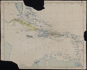
160. Swift World Maps Format: Maps/Atlases; Manuscripts Collection: Map and Chart Collection Date: [1850–1899] Institution: New Bedford Free Public Library