Skip to search
Skip to main content
Skip to first result
Digital Commonwealth
Folders
Sign Up / Log In
Search for
Search
Search
Search
Basic
Advanced
Explore
Map
Collections
Institutions
Formats
For Educators
Primary Source Sets
Lesson Plans
Using Primary Sources
Searching Digital Commonwealth
For Institutions
Join Digital Commonwealth
Conferences, Trainings, & Events
How to Contribute Collections
Digitization Services
Board & Committees
Frequently Asked Questions
About
About Digital Commonwealth
News & Announcements
Copyright & Terms of Use
Harmful Content Statement
Partners
API
Contact Us
Search
Search Constraints
Start Over
Save Search
Your search:
More Like
commonwealth:pk02g098x
✖
Remove constraint More Like: commonwealth:pk02g098x
« Prev.
|
101
-
120
of
172
|
Next »
Sort
by relevance
relevance
title
date (asc)
date (desc)
recently added
Number of results to display per page
20
per page
per page
10
per page
20
per page
50
per page
100
per page
View results as:
List
list view
Maps
map view
Gallery
grid view
Search Results
101.
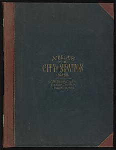
Atlas of the city of Newton, Massachusetts
102.
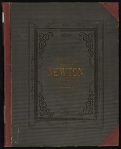
Atlas of the city of Newton, Middlesex Co., Massachusetts
103.
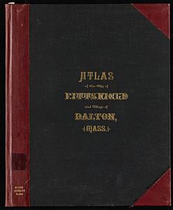
Atlas of the city of Pittsfield, Berkshire County, Massachusetts
104.
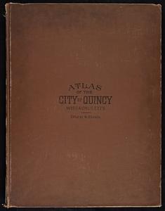
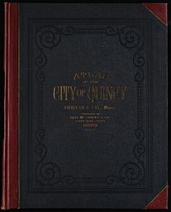
Atlas of the city of Quincy, Norfolk County, Massachusetts : compiled from the latest plans and original surveys
105.
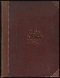
Atlas of the city of Quincy, Norfolk County, Massachusetts
106.
Atlas of the city of Quincy, Norfolk County, Massachusetts
107.
Atlas of the city of Salem, Massachusetts : including also the towns of Marblehead, Peabody, and Danvers
108.
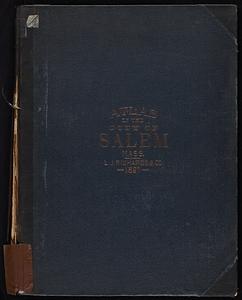
Atlas of the city of Salem, Massachusetts
109.
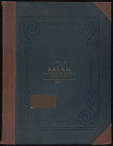
Atlas of the city of Salem, Massachusetts
110.
Atlas of the city of Somerville, Massachusetts
111.
Atlas of the city of Springfield and the town of Longmeadow, Massachusetts
112.
Atlas of the city of Springfield Massachusetts
113.
Atlas of the city of Worcester, Massachusetts
114.
Atlas of the city of Worcester, Massachusetts
115.
Atlas of the city of Worcester, Worcester County, Massachusetts
116.
Atlas of the county of Suffolk, Massachusetts, vol. 1 : including Boston proper
117.
Atlas of the county of Suffolk, Massachusetts, vol. 2 : late city of Roxbury, now wards 13-14 and 15, city of Boston
118.
Atlas of the county of Suffolk, Massachusetts, vol. 3 : including South Boston and Dorchester
119.
Atlas of the county of Suffolk, Massachusetts, vol. 4 : including East Boston, city of Chelsea, Revere and Winthrop
120.
Atlas of the county of Suffolk, Massachusetts, vol. 5 : West Roxbury, now ward 17, Boston
« Previous
Next »
1
2
3
4
5
6
7
8
9
Limit your search
Subject
Landowners--Massachusetts--Boston--Maps
35
Real property--Massachusetts--Boston--Maps
35
Buildings--Massachusetts--Boston--Maps
34
Essex County (Mass.)--Maps
27
Boston (Mass.)--Maps
12
Buildings--Massachusetts--Brookline--Maps
9
Massachusetts
9
Dorchester (Boston, Mass.)--Maps
8
more
Subject
»
Place
North and Central America
172
United States
169
Essex (county)
51
Suffolk (county)
38
Boston
36
Massachusetts
34
Middlesex (county)
27
Norfolk (county)
13
more
Place
»
Format
Maps/Atlases
172
Books
5
Manuscripts
1
Available to use
No known restrictions
18
Date
View distribution
Current results range from
1812
to
1990
Date range begin
Date range end
View larger »
Collection
Massachusetts Real Estate Atlases
143
Norman B. Leventhal Map & Education Center Collection
18
Boston and New England Maps (Collection of Distinction)
17
Historic Maps
9
Urban Maps (Collection of Distinction)
6
David Judkins Weaver Papers
3
Massachusetts Board of Harbor and Land Commissioners
2
Institution
State Library of Massachusetts
145
Boston Public Library
18
Salem State University Archives and Special Collections
9
We'd love your feedback!
×
Would you be interested in taking a short survey about Digital Commonwealth?