Skip to search
Skip to main content
Skip to first result
Digital Commonwealth
Folders
Sign Up / Log In
Search for
Search
Search
Search
Basic
Advanced
Explore
Map
Collections
Institutions
Formats
For Educators
Primary Source Sets
Lesson Plans
Using Primary Sources
Searching Digital Commonwealth
For Institutions
Join Digital Commonwealth
Conferences, Trainings, & Events
How to Contribute Collections
Digitization Services
Board & Committees
Frequently Asked Questions
About
About Digital Commonwealth
News & Announcements
Copyright & Terms of Use
Harmful Content Statement
Partners
API
Contact Us
Search
Search Constraints
Start Over
Save Search
Your search:
More Like
commonwealth:pv63g5147
✖
Remove constraint More Like: commonwealth:pv63g5147
« Prev.
|
21
-
40
of
72
|
Next »
Sort
by relevance
relevance
title
date (asc)
date (desc)
Number of results to display per page
20
per page
per page
10
per page
20
per page
50
per page
100
per page
View results as:
List
list view
Maps
map view
Gallery
grid view
Search Results
21.
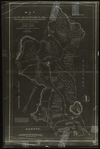
Map of Lynnfield, in Essex County, Massachusetts
22.
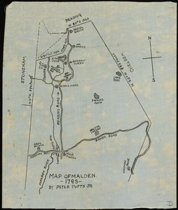
Map of Malden, 1795
23.
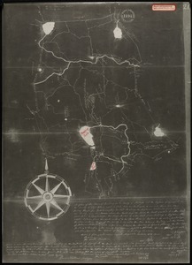
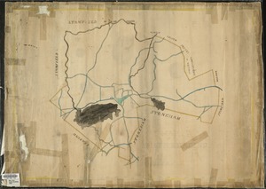
Map of old Reading, Massachusetts Bay Colony, 1647
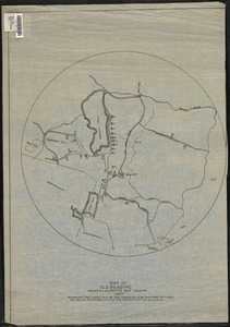
24.
Map of old Reading, Massachusetts Bay Colony, 1651
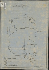
25.
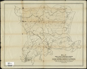
Map of parts of Essex & part of Middlesex counties, showing the rail road routes between Salem, Lowell, Boston & Lawrence
26.
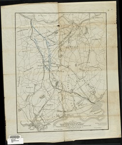
Map of parts of Middlesex & Essex counties showing the rail road routes between Salem, Lowell, Boston & Methuen
27.
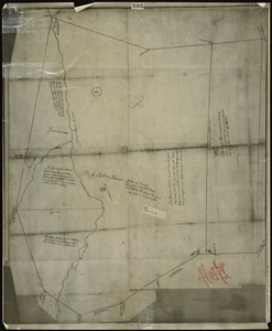
Map of South Reading
28.
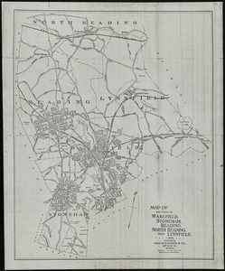
Map of the towns of Wakefield, Stoneham, Reading, North Reading, and Lynnfield, 1907
29.
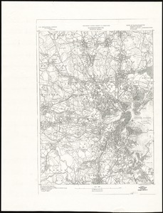
Massachusetts, Boston sheet
30.
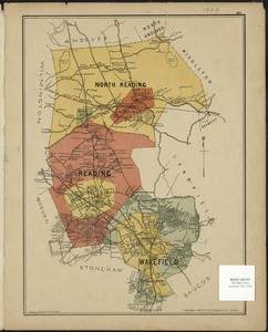
North Reading, Reading, and Wakefield, Mass.
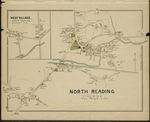
31.
North Reading Village
32.
Part of Wakefield [Massachusetts]
33.
Part of Wakefield [Massachusetts]
34.
Part of Wakefield [Massachusetts] Greenwood ; Town of Wakefield
35.
Plan of north precinct, Reading, 1732 : showing precinct boundaries, rivers, and location of meeting house
36.
Plan of Reading, Mass. : showing roads, bodies of water, woodlands, homes, churches, schools, post offices, and taverns
37.
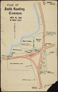
Plan of South Reading Common, Nov. 19, 1826
38.
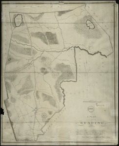
A plan of South Reading in the County of Middlesex
39.
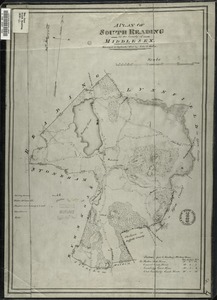
A plan of the 3rd Parish of the Town of Reading in the County of Middlesex
40.
A plan of the Town of Reading in the County of Middlesex and the Town of Lynnfield in the County of Essex
« Previous
Next »
1
2
3
4
Limit your search
Subject
Zoning
14
Community development, Urban
5
Freedom House (Roxbury, Boston, Mass.)
4
Railroads
4
Housing
3
Urban renewal
3
Election districts
2
Boston and Maine Railroad
1
more
Subject
»
Place
North and Central America
72
United States
70
Middlesex (county)
62
Wakefield
49
Reading
9
North Reading
8
Massachusetts
7
Boston
6
more
Place
»
Format
Maps/Atlases
67
Documents
5
Available to use
No known restrictions
67
Date
View distribution
Current results range from
1647
to
2000
Date range begin
Date range end
View larger »
Collection
Lucius Beebe Memorial Library Historic Maps
67
Freedom House, Inc. Records
5
Institution
Lucius Beebe Memorial Library
67
Northeastern University Library
5
![Part of Wakefield [Massachusetts]](https://bpldcassets.blob.core.windows.net/derivatives/images/commonwealth:c534g388r/image_thumbnail_300.jpg)
![Part of Wakefield [Massachusetts]](https://bpldcassets.blob.core.windows.net/derivatives/images/commonwealth:c534g4366/image_thumbnail_300.jpg)
![Part of Wakefield [Massachusetts] Greenwood ; Town of Wakefield](https://bpldcassets.blob.core.windows.net/derivatives/images/commonwealth:c534g394w/image_thumbnail_300.jpg)