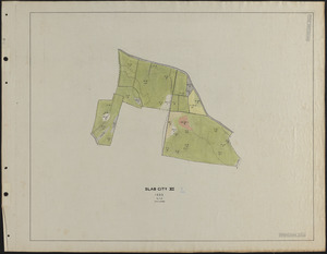
541. Slab City XI 1933 stand map Creator: Borg, R. M. Format: Maps/Atlases Collection: The Harvard Forest Map Collection Date: 1933 Institution: Harvard Forest Archives
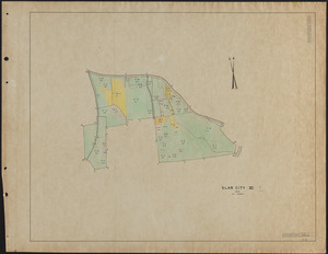
542. Slab City XI 1937 stand map Creator: Rowlands, W. Format: Maps/Atlases Collection: The Harvard Forest Map Collection Date: 1937 Institution: Harvard Forest Archives
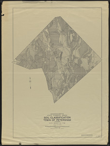
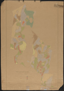
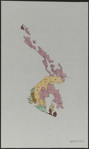
543. Soil Classification Town of Petersham Creator: Massachusetts. State Planning Board Format: Maps/Atlases Collection: The Harvard Forest Map Collection Date: January 1938 Institution: Harvard Forest Archives
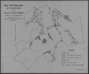
544. Soil Texture Map for the Cove Areas of the Black Rock Forest Creator: Scholz, H. F. Format: Maps/Atlases Collection: The Harvard Forest Map Collection Date: 1931 Institution: Harvard Forest Archives
545. Stand and reproduction cutting map of the Adams-Fay Lot (TS IX) Creator: New England Box Company Format: Maps/Atlases Collection: The Harvard Forest Map Collection Date: 1925 Institution: Harvard Forest Archives
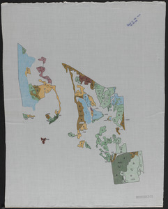
546. Stand Map of Parts of Petersham and Barre, MA Format: Maps/Atlases Collection: The Harvard Forest Map Collection Date: October 1945 Institution: Harvard Forest Archives
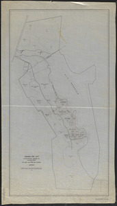
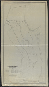
547. Stand map of Tom Swamp Annex (TS IX) Creator: Cline, A. C.; New England Box Company Format: Maps/Atlases Collection: The Harvard Forest Map Collection Date: 1924 Institution: Harvard Forest Archives
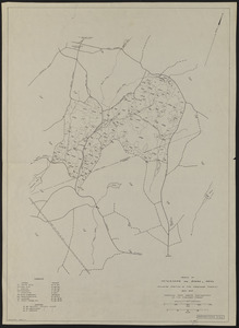
548. Stand map of Tom Swamp I-VIII Creator: Cline, A. C.; Foster, C. H. Format: Maps/Atlases Collection: The Harvard Forest Map Collection Date: 1925 Institution: Harvard Forest Archives
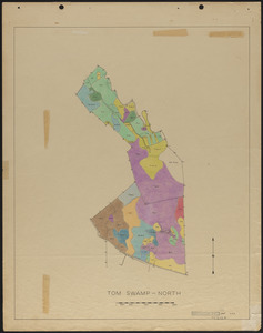
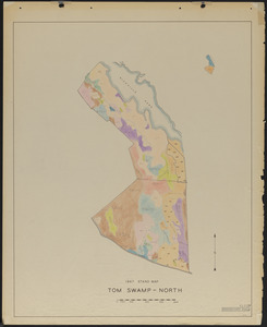
549. Stand maps of Tom Swamp-North 1937 Creator: Spurr, Stephen H., 1918-1990 Format: Maps/Atlases Collection: The Harvard Forest Map Collection Date: 1947 Institution: Harvard Forest Archives
550. Stand maps of Tom Swamp-North 1947 Creator: Stephens, E. P. Format: Maps/Atlases Collection: The Harvard Forest Map Collection Date: 1947 Institution: Harvard Forest Archives
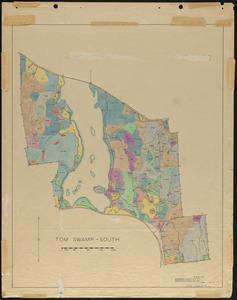
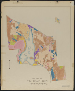
551. Stand maps of Tom Swamp-South 1937 Creator: Spurr, Stephen H., 1918-1990 Format: Maps/Atlases Collection: The Harvard Forest Map Collection Date: 1947 Institution: Harvard Forest Archives
552. Stand maps of Tom Swamp-South 1947 Creator: Stephens, E. P. Format: Maps/Atlases Collection: The Harvard Forest Map Collection Date: 1947 Institution: Harvard Forest Archives
553. Standing timber by type, volume and quality Tom Swamp North Format: Maps/Atlases Collection: The Harvard Forest Map Collection Date: 1956 Institution: Harvard Forest Archives
554. Standing timber by type, volume and quality Tom Swamp South Format: Maps/Atlases Collection: The Harvard Forest Map Collection Date: 1956 Institution: Harvard Forest Archives
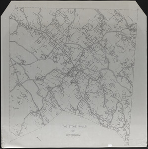
555. The Stone Walls of Petersham - mylar overlay Creator: Gould, E. M.; Lyford, Walter Henry, 1909- Format: Maps/Atlases Collection: The Harvard Forest Map Collection Date: 1970–1979 Institution: Harvard Forest Archives
556. Study of Cutover Old Field Pine Stands Creator: McKinnon, F. S., Hyde, G. R., Cline, A. C., and Geological Survey (U.S.) Format: Maps/Atlases Collection: The Harvard Forest Map Collection Date: 1932 Institution: Harvard Forest Archives
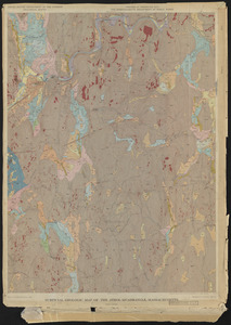
557. Surficial Geologic Map of the Athol Quadrangle. MA Creator: Geological Survey (U.S.); Eschman, D.F. Format: Maps/Atlases Collection: The Harvard Forest Map Collection Date: 1966 Institution: Harvard Forest Archives
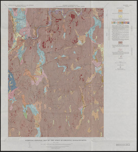
558. Surficial Geology and glaciofluvial sequences of the Athol Quadrangle - preliminary map 1963 and final maps 1966 Creator: Geological Survey (U.S.); Eschman, D.F. Format: Maps/Atlases Collection: The Harvard Forest Map Collection Date: 1966 Institution: Harvard Forest Archives
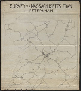
559. Survey of a Massachusetts Town - Petersham Format: Maps/Atlases Collection: The Harvard Forest Map Collection Date: 1907–1999 Institution: Harvard Forest Archives
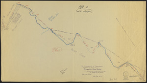
560. Survey of Riceville Dam and North Boundary of TS IX Creator: Slack, T. B.; Maisner, W. P. Format: Maps/Atlases Collection: The Harvard Forest Map Collection Date: September 1960–October 1960 Institution: Harvard Forest Archives