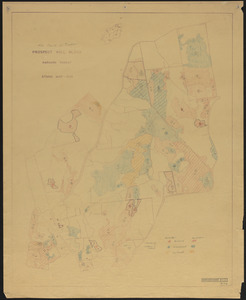
1. 1956 Cruise of Timber, Prospect Hill Block - 1956 Format: Maps/Atlases Collection: The Harvard Forest Map Collection Date: 1956 Institution: Harvard Forest Archives
2. 3-cut shelterwood. Adams-Fay Lot (TS IX) 1934 Creator: Karnig, Jack J. Format: Maps/Atlases Collection: The Harvard Forest Map Collection Date: December 1934 Institution: Harvard Forest Archives
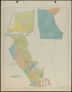
3. Adams-Fay Lot (TS IX) 1929 stand map Creator: Salls, M. R. Format: Maps/Atlases Collection: The Harvard Forest Map Collection Date: 1929 Institution: Harvard Forest Archives
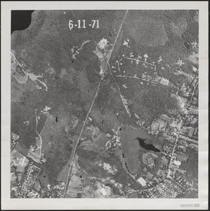
4. Aerial Photograph of Matthews Plantation Format: Photographs Collection: The Harvard Forest Map Collection Date: June 11, 1971 Institution: Harvard Forest Archives
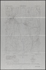
5. Aeromagnetic Map of the Athol Quadrangle, Worcester and Franklin Counties, MA Creator: Geological Survey (U.S.) Format: Maps/Atlases Collection: The Harvard Forest Map Collection Date: 1971 Institution: Harvard Forest Archives
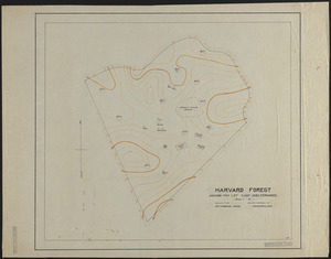
6. Base Map of Prospect Hill, Tom Swamp, and Slab City Tracts Creator: Spurr, Stephen H., 1918-1990 Format: Maps/Atlases Collection: The Harvard Forest Map Collection Date: 1945 Institution: Harvard Forest Archives
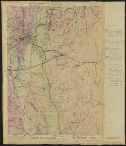
7. Bedrock Geology of the Athol Quadrangle Creator: Geological Survey (U.S.); Eschman, D.F. Format: Maps/Atlases Collection: The Harvard Forest Map Collection Date: 1954 Institution: Harvard Forest Archives
8. Beirne B. Brues Property Deeded to President and Fellows of Harvard College – Tall Timbers Creator: Norberg, Edward Format: Maps/Atlases Collection: The Harvard Forest Map Collection Date: August 6, 1964 Institution: Harvard Forest Archives
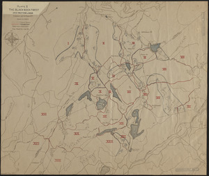
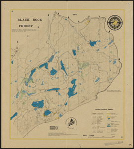
9. The Black Rock Forest Creator: Tryon, H. H. Format: Maps/Atlases Collection: The Harvard Forest Map Collection Date: January 1929 Institution: Harvard Forest Archives
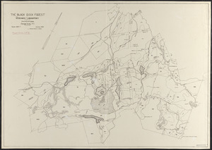
10. Black Rock Forest Map of Inoperable Land, Wetlands and Protection Forests Creator: Denny, Charles Storrow, 1911-; Karnig, Jack J. Format: Maps/Atlases Collection: The Harvard Forest Map Collection Date: 1985 Institution: Harvard Forest Archives
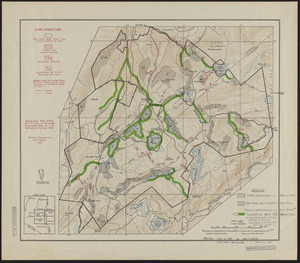
11. The Black Rock Forest Research Plots and Activities Creator: Tryon, H. H. Format: Maps/Atlases Collection: The Harvard Forest Map Collection Date: January 1932 Institution: Harvard Forest Archives
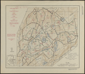
12. Black Rock Forest Standing Timber - 1981 Creator: Scholz, H. F., Smith, K., and Denny, Charles Storrow, 1911- Format: Maps/Atlases Collection: The Harvard Forest Map Collection Date: 1981 Institution: Harvard Forest Archives
13. Black Rock Forest Topography and Natural Features Creator: United States Military Academy Format: Maps/Atlases Collection: The Harvard Forest Map Collection Date: 1978 Institution: Harvard Forest Archives
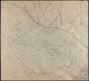
14. Blow up of USGS Map of Petersham Showing Harvard and Petersham State Forests Creator: Geological Survey (U.S.) Format: Maps/Atlases Collection: The Harvard Forest Map Collection Date: 1907–2014 Institution: Harvard Forest Archives
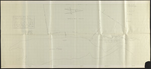
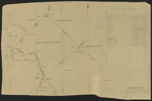
15. Boundary Survey of the Town of Petersham Format: Maps/Atlases Collection: The Harvard Forest Map Collection Date: February 16, 1934 Institution: Harvard Forest Archives
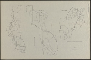
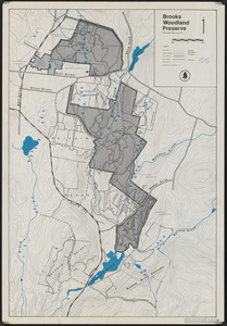
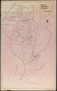
16. Brooks Woodland Preserve Creator: Trustees of Reservations (Mass.); Gould, E. M. Format: Maps/Atlases Collection: The Harvard Forest Map Collection Date: 1970 Institution: Harvard Forest Archives
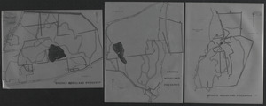
17. Brooks Woodland Preserve Creator: Trustees of Reservations (Mass.); Gould, E. M. Format: Maps/Atlases Collection: The Harvard Forest Map Collection Date: 1970 Institution: Harvard Forest Archives
18. Brooks Woodland Preserve Creator: Trustees of Reservations (Mass.); Gould, E. M. Format: Maps/Atlases Collection: The Harvard Forest Map Collection Date: 1970 Institution: Harvard Forest Archives
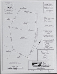
19. Bruce E. Laboffa and Steven Lange Land Creator: Wilson, B. E. , Jr. Format: Maps/Atlases Collection: The Harvard Forest Map Collection Date: December 7, 2005 Institution: Harvard Forest Archives
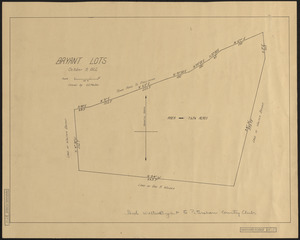
20. Bryant Lots Petersham Creator: Tarbox, E. E. Format: Maps/Atlases Collection: The Harvard Forest Map Collection Date: October 9, 1922 Institution: Harvard Forest Archives