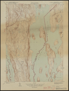
621. Topographic maps of 7.5' Quabbin Reservoir quad Creator: Geological Survey (U.S.) Format: Maps/Atlases Collection: The Harvard Forest Map Collection Date: 1944 Institution: Harvard Forest Archives
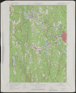
622. Topographic Maps of 7.5' Templeton Creator: Geological Survey (U.S.) Format: Maps/Atlases Collection: The Harvard Forest Map Collection Date: 1954 Institution: Harvard Forest Archives
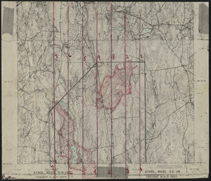
623. Topographic Maps of the Athol Quads Creator: Geological Survey (U.S.) Format: Maps/Atlases Collection: The Harvard Forest Map Collection Date: 1927 Institution: Harvard Forest Archives
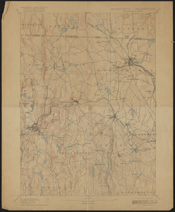
624. Topographic Maps of the Barre Sheet Creator: Geological Survey (U.S.) Format: Maps/Atlases Collection: The Harvard Forest Map Collection Date: March 1894 Institution: Harvard Forest Archives
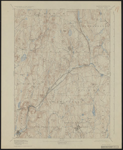
625. Topographic Maps of the Petersham Quads Creator: Geological Survey (U.S.) Format: Maps/Atlases Collection: The Harvard Forest Map Collection Date: 1927 Institution: Harvard Forest Archives
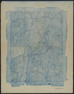
626. Topographic Maps of the Winchendon Sheet Creator: Geological Survey (U.S.) Format: Maps/Atlases Collection: The Harvard Forest Map Collection Date: March 1894 Institution: Harvard Forest Archives
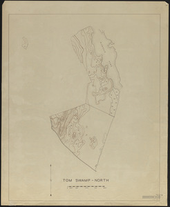
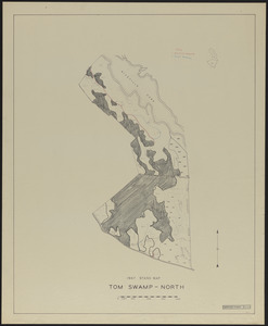
627. Topographic Maps of Tom Swamp-North 1948 Creator: Stephens, E. P. Format: Maps/Atlases Collection: The Harvard Forest Map Collection Date: 1948 Institution: Harvard Forest Archives
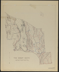
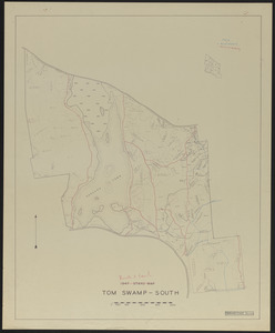
628. Topographic maps of Tom Swamp-South 1948 Creator: Stephens, E. P. Format: Maps/Atlases Collection: The Harvard Forest Map Collection Date: 1948 Institution: Harvard Forest Archives
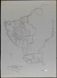
629. Topographical Survey of Harvard Farm - 1911 Creator: Swan, Kenneth D. (Kenneth Dupee), 1887-1970 Format: Maps/Atlases Collection: The Harvard Forest Map Collection Date: May 1911 Institution: Harvard Forest Archives
630. Topographical Survey of Harvard Farm - 1911 Creator: Parker, G.; Harvard Forest Class of 1911 Format: Maps/Atlases Collection: The Harvard Forest Map Collection Date: May 1911 Institution: Harvard Forest Archives
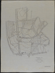
631. Topography of Prospect Hill, including Camel's Hump and vicinity Format: Maps/Atlases Collection: The Harvard Forest Map Collection Date: 1907–2014 Institution: Harvard Forest Archives
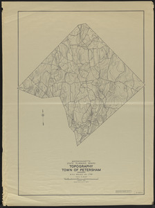
632. Topography Town of Petersham 1938 Creator: Massachusetts. State Planning Board Format: Maps/Atlases Collection: The Harvard Forest Map Collection Date: January 1938 Institution: Harvard Forest Archives
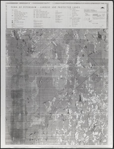
633. Town of Petersham, Land Use and Protected Lands Creator: Massachusetts. Department of Fisheries, Wildlife, and Environmental Law Enforcement Format: Maps/Atlases Collection: The Harvard Forest Map Collection Date: November 8, 1991 Institution: Harvard Forest Archives
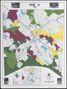
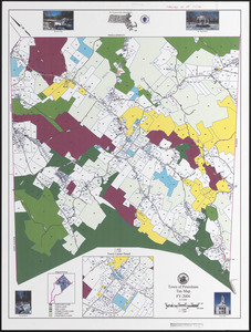
634. Town of Petersham Tax Map Creator: The Commonwealth of Massachusetts Format: Maps/Atlases Collection: The Harvard Forest Map Collection Date: April 13, 2006 Institution: Harvard Forest Archives
635. Town of Petersham Tax Map Creator: The Commonwealth of Massachusetts Format: Maps/Atlases Collection: The Harvard Forest Map Collection Date: April 13, 2006 Institution: Harvard Forest Archives
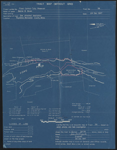
636. Tract Map (Without Grid) Flood Control - Tully Reservoir Format: Maps/Atlases Collection: The Harvard Forest Map Collection Date: December 24, 1947 Institution: Harvard Forest Archives
637. Trail mowing operations, roads and trails Tom Swamp South Creator: Stephens, E. P. Format: Maps/Atlases Collection: The Harvard Forest Map Collection Date: 1956 Institution: Harvard Forest Archives
638. Trail mowing operations, Tom Swamp North Creator: Stephens, E. P. Format: Maps/Atlases Collection: The Harvard Forest Map Collection Date: 1956 Institution: Harvard Forest Archives
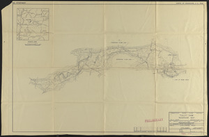
639. Tully Dam Reservoir Map Format: Maps/Atlases Collection: The Harvard Forest Map Collection Date: 1925 Institution: Harvard Forest Archives
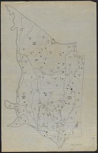
640. Type and height or age map of TS II-VI Format: Maps/Atlases Collection: The Harvard Forest Map Collection Date: 1936 Institution: Harvard Forest Archives