Skip to search
Skip to main content
Skip to first result
Digital Commonwealth
Folders
Sign Up / Log In
Search for
Search
Search
Search
Basic
Advanced
Explore
Map
Collections
Institutions
Formats
For Educators
Primary Source Sets
Lesson Plans
Using Primary Sources
Searching Digital Commonwealth
For Institutions
Join Digital Commonwealth
Conferences, Trainings, & Events
How to Contribute Collections
Digitization Services
Board & Committees
Frequently Asked Questions
About
About Digital Commonwealth
News & Announcements
Copyright & Terms of Use
Harmful Content Statement
Partners
API
Contact Us
Search
Search Constraints
Start Over
Save Search
Your search:
More Like
commonwealth:qv33t5167
✖
Remove constraint More Like: commonwealth:qv33t5167
« Prev. |
1
-
20
of
647
|
Next »
Sort
by relevance
relevance
title
date (asc)
date (desc)
recently added
Number of results to display per page
20
per page
per page
10
per page
20
per page
50
per page
100
per page
View results as:
List
list view
Maps
map view
Gallery
grid view
Search Results
1.
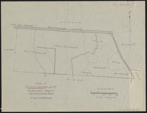
Higginson Lot 1937 Stand map
2.
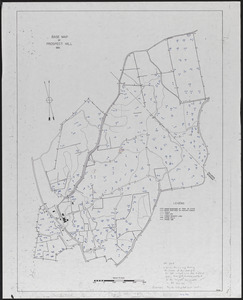
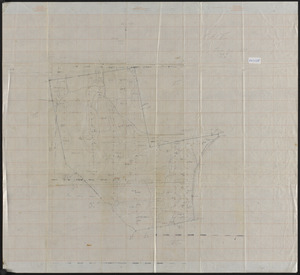
Prospect Hill 1937 Plot Location - David Foster Research HF 1995-26a
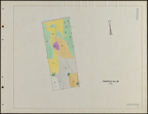
3.
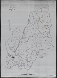
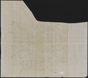
Prospect Hill 1937 Plot Location - David Foster Research HF 1995-26a
4.
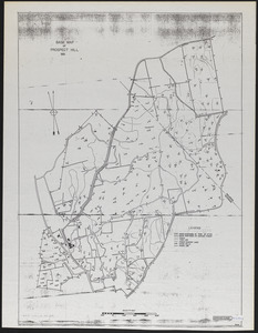
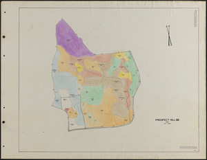
Prospect Hill 1937 Plot Location - David Foster Research HF 1995-26a
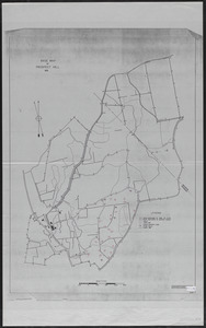
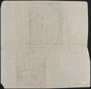
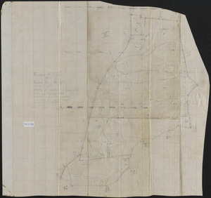
5.
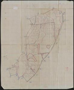
Prospect Hill 1937 Plot Location - David Foster Research HF 1995-26a
6.
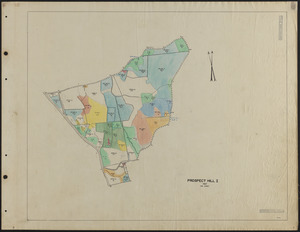
Prospect Hill I Stand Map 1937
7.
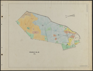
Prospect Hill III - Forest Inventory
8.
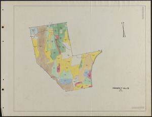
Prospect Hill III 1937 Stand Map
9.
Prospect Hill IV - Forest Inventory
10.
Prospect Hill IV 1937 Stand Map
11.
Prospect Hill IX Stand Map 1937
12.
Prospect Hill IX Stand Map 1937
13.
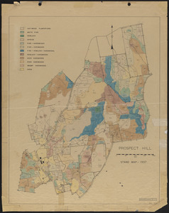
Prospect Hill Stand Map - 1937
14.
Prospect Hill V - Forest Inventory
15.
Prospect Hill V 1937 Stand Map
16.
Prospect Hill VI - Forest Inventory
17.
Prospect Hill VI 1937 Stand Map
18.
Prospect Hill VII - Forest Inventory
19.
Prospect Hill VII 1937 Stand Map
20.
Prospect Hill VIII - Forest Inventory
« Previous
Next »
1
2
3
4
5
…
32
33
Limit your search
Subject
Boundaries
151
Forest operations
47
1937
43
1938
41
Hurricanes
37
Land use
37
1946
31
Forest Operations
27
more
Subject
»
Place
North and Central America
647
United States
647
Massachusetts
623
Worcester (county)
596
Petersham
587
Tom Swamp
158
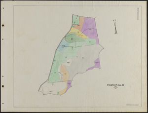
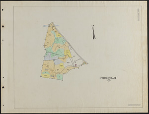
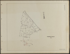
Prospect Hill
153
Tom Swamp Tract
97
more
Place
»
Format
Maps/Atlases
646
Manuscripts
3
Photographs
1
Available to use
Creative Commons license
647
Date
View distribution
Current results range from
1755
to
2016
Date range begin
Date range end
View larger »
Collection
The Harvard Forest Map Collection
647
Institution
Harvard University
647
We'd love your feedback!
×
Would you be interested in taking a short survey about Digital Commonwealth?