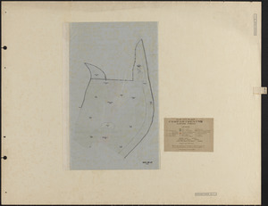
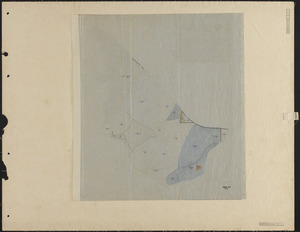
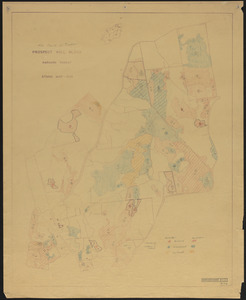
1. Prospect Hill VII Stand Maps 1924 and 1925-27 update Creator: Lockard, C. R., 1900-; Hosley, N. W. (Neil Wetmore), 1901- Format: Maps/Atlases Collection: The Harvard Forest Map Collection Date: 1924–1927 Institution: Harvard Forest Archives
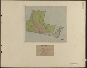
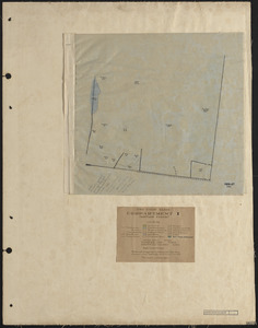
2. Slab City II Stand Map 1924, 1925-26-27 Creator: Lockard, C. R., 1900-; Hosley, N. W. (Neil Wetmore), 1901- Format: Maps/Atlases Collection: The Harvard Forest Map Collection Date: 1924–1927 Institution: Harvard Forest Archives
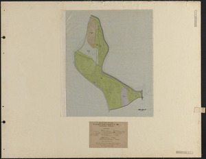
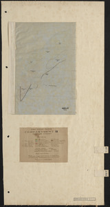
3. Slab City IV 1924, 1925-26-27 Stand Map Creator: Lockard, C. R., 1900-; Hosley, N. W. (Neil Wetmore), 1901- Format: Maps/Atlases Collection: The Harvard Forest Map Collection Date: 1924–1927 Institution: Harvard Forest Archives
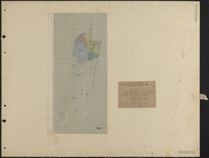
4. Slab City V 1924-27 Stand Map Creator: Lockard, C. R., 1900-; Hosley, N. W. (Neil Wetmore), 1901- Format: Maps/Atlases Collection: The Harvard Forest Map Collection Date: 1924–1927 Institution: Harvard Forest Archives
5. Slab City VI 1924, 1925-26-27 Stand Map Creator: Lockard, C. R., 1900-; Hosley, N. W. (Neil Wetmore), 1901- Format: Maps/Atlases Collection: The Harvard Forest Map Collection Date: 1924–1927 Institution: Harvard Forest Archives
6. Slab City VII 1924, 1925-26-27 Stand Map Creator: Lockard, C. R., 1900-; Hosley, N. W. (Neil Wetmore), 1901- Format: Maps/Atlases Collection: The Harvard Forest Map Collection Date: 1924–1927 Institution: Harvard Forest Archives
7. Slab City VIII/IX 1924-25, 1926-27 Stand Maps Creator: Lockard, C. R., 1900-; Hosley, N. W. (Neil Wetmore), 1901- Format: Maps/Atlases Collection: The Harvard Forest Map Collection Date: 1924–1927 Institution: Harvard Forest Archives
8. Tom Swamp I 1924-27 stand map Creator: Lockard, C. R., 1900-; Hosley, N. W. (Neil Wetmore), 1901- Format: Maps/Atlases Collection: The Harvard Forest Map Collection Date: 1925–1927 Institution: Harvard Forest Archives
9. Tom Swamp II 1924-27 stand map Creator: Lockard, C. R., 1900-; Hosley, N. W. (Neil Wetmore), 1901- Format: Maps/Atlases Collection: The Harvard Forest Map Collection Date: 1925–1927 Institution: Harvard Forest Archives
10. Tom Swamp III 1924-27 stand map Creator: Lockard, C. R., 1900-; Hosley, N. W. (Neil Wetmore), 1901- Format: Maps/Atlases Collection: The Harvard Forest Map Collection Date: 1925–1927 Institution: Harvard Forest Archives
11. Tom Swamp IV 1924-27 stand map Creator: Lockard, C. R., 1900-; Hosley, N. W. (Neil Wetmore), 1901- Format: Maps/Atlases Collection: The Harvard Forest Map Collection Date: 1925–1927 Institution: Harvard Forest Archives
12. Tom Swamp V 1924-27 stand map Creator: Lockard, C. R., 1900-; Hosley, N. W. (Neil Wetmore), 1901- Format: Maps/Atlases Collection: The Harvard Forest Map Collection Date: 1925–1927 Institution: Harvard Forest Archives
13. Tom Swamp VI 1924-27 stand map Creator: Lockard, C. R., 1900-; Hosley, N. W. (Neil Wetmore), 1901- Format: Maps/Atlases Collection: The Harvard Forest Map Collection Date: 1925–1927 Institution: Harvard Forest Archives
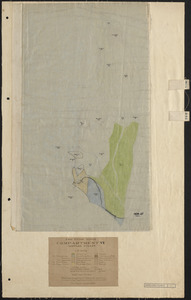
14. Tom Swamp VIII 1923-27 stand map Creator: Lockard, C. R., 1900-; Hosley, N. W. (Neil Wetmore), 1901- Format: Maps/Atlases Collection: The Harvard Forest Map Collection Date: 1925–1927 Institution: Harvard Forest Archives
15. 1956 Cruise of Timber, Prospect Hill Block - 1956 Format: Maps/Atlases Collection: The Harvard Forest Map Collection Date: 1956 Institution: Harvard Forest Archives
16. 3-cut shelterwood. Adams-Fay Lot (TS IX) 1934 Creator: Karnig, Jack J. Format: Maps/Atlases Collection: The Harvard Forest Map Collection Date: December 1934 Institution: Harvard Forest Archives
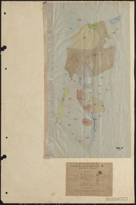
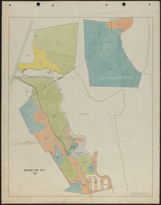
17. Adams-Fay Lot (TS IX) 1929 stand map Creator: Salls, M. R. Format: Maps/Atlases Collection: The Harvard Forest Map Collection Date: 1929 Institution: Harvard Forest Archives
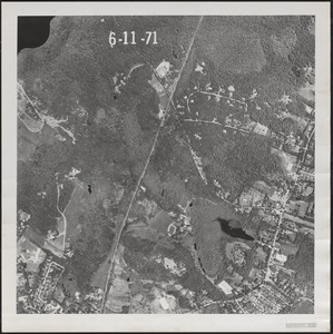
18. Aerial Photograph of Matthews Plantation Format: Photographs Collection: The Harvard Forest Map Collection Date: June 11, 1971 Institution: Harvard Forest Archives
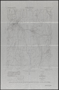
19. Aeromagnetic Map of the Athol Quadrangle, Worcester and Franklin Counties, MA Creator: Geological Survey (U.S.) Format: Maps/Atlases Collection: The Harvard Forest Map Collection Date: 1971 Institution: Harvard Forest Archives
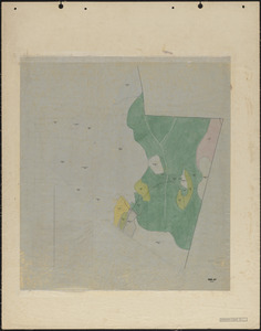
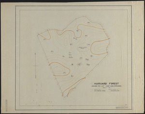
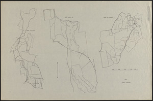
20. Base Map of Prospect Hill, Tom Swamp, and Slab City Tracts Creator: Spurr, Stephen H., 1918-1990 Format: Maps/Atlases Collection: The Harvard Forest Map Collection Date: 1945 Institution: Harvard Forest Archives