461. Slab City VII 1937 Stand Maps Creator: Rowlands, W. Format: Maps/Atlases Collection: The Harvard Forest Map Collection Date: 1937 Institution: Harvard Forest Archives
462. Slab City VIII 1931 Stand Map Creator: Bauer, E. Format: Maps/Atlases Collection: The Harvard Forest Map Collection Date: 1931 Institution: Harvard Forest Archives
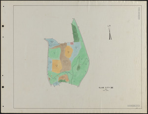
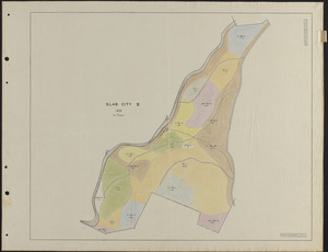
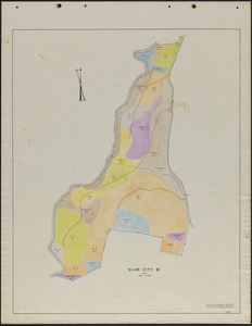
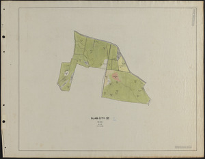
463. Slab City VIII 1937 Stand Map Creator: Rowlands, W. Format: Maps/Atlases Collection: The Harvard Forest Map Collection Date: 1937 Institution: Harvard Forest Archives
464. Slab City VIII/IX 1924-25, 1926-27 Stand Maps Creator: Lockard, C. R., 1900-; Hosley, N. W. (Neil Wetmore), 1901- Format: Maps/Atlases Collection: The Harvard Forest Map Collection Date: 1924–1927 Institution: Harvard Forest Archives
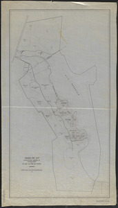
465. Slab City X 1924-27 stand map Creator: Lockard, C. R., 1900-; Hosley, N. W. (Neil Wetmore), 1901- Format: Maps/Atlases Collection: The Harvard Forest Map Collection Date: 1925–1927 Institution: Harvard Forest Archives
466. Slab City X 1931 stand map Creator: Bauer, E. Format: Maps/Atlases Collection: The Harvard Forest Map Collection Date: 1931 Institution: Harvard Forest Archives
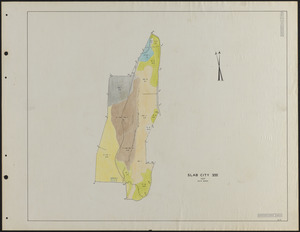
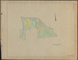
467. Slab City X 1937 stand map Creator: Rowlands, W. Format: Maps/Atlases Collection: The Harvard Forest Map Collection Date: 1937 Institution: Harvard Forest Archives
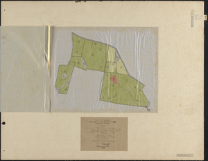
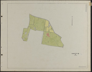
468. Slab City XI 1925-27 stand map Creator: Hosley, N. W. (Neil Wetmore), 1901-, Albright, W. A., and Cline, A.C. Format: Maps/Atlases Collection: The Harvard Forest Map Collection Date: 1925–1927 Institution: Harvard Forest Archives
469. Slab City XI 1929 stand map Creator: Hosley, N. W. (Neil Wetmore), 1901- Format: Maps/Atlases Collection: The Harvard Forest Map Collection Date: 1929 Institution: Harvard Forest Archives
470. Slab City XI 1933 stand map Creator: Borg, R. M. Format: Maps/Atlases Collection: The Harvard Forest Map Collection Date: 1933 Institution: Harvard Forest Archives
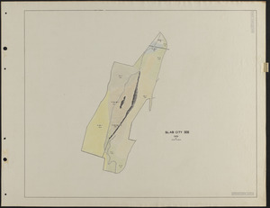
471. Slab City XI 1937 stand map Creator: Rowlands, W. Format: Maps/Atlases Collection: The Harvard Forest Map Collection Date: 1937 Institution: Harvard Forest Archives
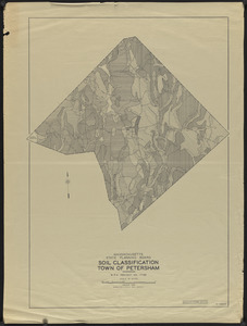
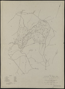
472. Soil Classification Town of Petersham Creator: Massachusetts. State Planning Board Format: Maps/Atlases Collection: The Harvard Forest Map Collection Date: January 1938 Institution: Harvard Forest Archives
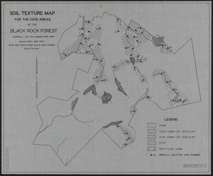
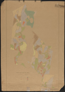
473. Soil Texture Map for the Cove Areas of the Black Rock Forest Creator: Scholz, H. F. Format: Maps/Atlases Collection: The Harvard Forest Map Collection Date: 1931 Institution: Harvard Forest Archives
474. Stand and reproduction cutting map of the Adams-Fay Lot (TS IX) Creator: New England Box Company Format: Maps/Atlases Collection: The Harvard Forest Map Collection Date: 1925 Institution: Harvard Forest Archives
475. Stand Map of Parts of Petersham and Barre, MA Format: Maps/Atlases Collection: The Harvard Forest Map Collection Date: October 1945 Institution: Harvard Forest Archives
476. Stand map of Tom Swamp Annex (TS IX) Creator: Cline, A. C.; New England Box Company Format: Maps/Atlases Collection: The Harvard Forest Map Collection Date: 1924 Institution: Harvard Forest Archives
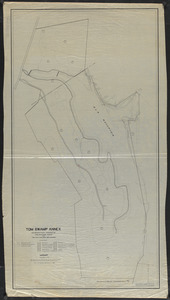
477. Stand map of Tom Swamp I-VIII Creator: Cline, A. C.; Foster, C. H. Format: Maps/Atlases Collection: The Harvard Forest Map Collection Date: 1925 Institution: Harvard Forest Archives
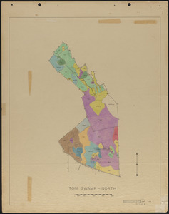
478. Stand maps of Tom Swamp-North 1937 Creator: Spurr, Stephen H., 1918-1990 Format: Maps/Atlases Collection: The Harvard Forest Map Collection Date: 1947 Institution: Harvard Forest Archives
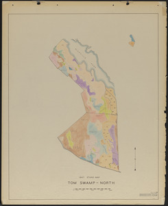
479. Stand maps of Tom Swamp-North 1947 Creator: Stephens, E. P. Format: Maps/Atlases Collection: The Harvard Forest Map Collection Date: 1947 Institution: Harvard Forest Archives
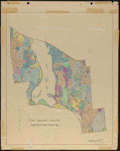
480. Stand maps of Tom Swamp-South 1937 Creator: Spurr, Stephen H., 1918-1990 Format: Maps/Atlases Collection: The Harvard Forest Map Collection Date: 1947 Institution: Harvard Forest Archives