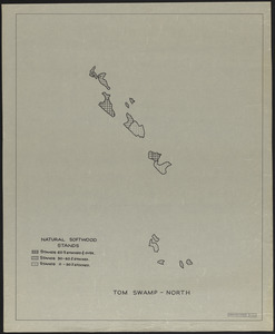
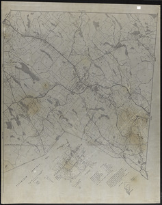
161. Natural softwood stands, Tom Swamp-North Format: Maps/Atlases Collection: The Harvard Forest Map Collection Date: 1946 Institution: Harvard Forest Archives
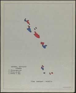
162. Natural softwood stands, Tom Swamp-North Format: Maps/Atlases Collection: The Harvard Forest Map Collection Date: 1946 Institution: Harvard Forest Archives
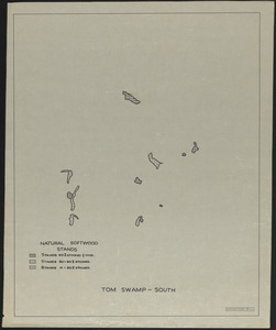
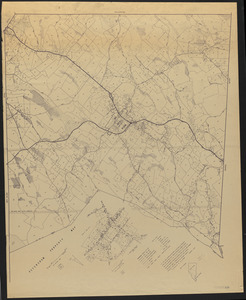
163. Natural softwood stands, Tom Swamp-South Format: Maps/Atlases Collection: The Harvard Forest Map Collection Date: 1946 Institution: Harvard Forest Archives
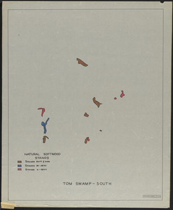
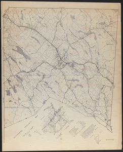
164. Natural softwood stands, Tom Swamp-South Format: Maps/Atlases Collection: The Harvard Forest Map Collection Date: 1946 Institution: Harvard Forest Archives
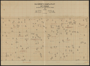
165. Old Growth Sample Plot Mount Pisgah Showing Distribution of Trees Creator: Smith, H. A. Format: Maps/Atlases Collection: The Harvard Forest Map Collection Date: 1927 Institution: Harvard Forest Archives
166. Onesime E. and Charlotte E. Nault Land Creator: Berry, W. L. Format: Maps/Atlases Collection: The Harvard Forest Map Collection Date: September 17, 1974 Institution: Harvard Forest Archives
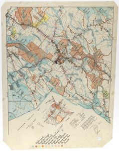
167. Open Fields, Pastures, Abandoned Fields, and House Influence Zones in Petersham Creator: Gould, E. M.; Lyford, Walter Henry, 1909- Format: Maps/Atlases Collection: The Harvard Forest Map Collection Date: 1974–2014 Institution: Harvard Forest Archives
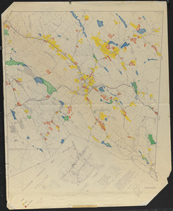
168. Open Lands in Petersham 1970 Creator: Gould, E. M.; Geological Survey (U.S.) Format: Maps/Atlases Collection: The Harvard Forest Map Collection Date: 1970–2014 Institution: Harvard Forest Archives
169. Open Lands in Petersham, 1974 Creator: Gould, E. M.; Lyford, Walter Henry, 1909- Format: Maps/Atlases Collection: The Harvard Forest Map Collection Date: 1974 Institution: Harvard Forest Archives
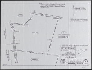
170. Parcel 568 - Estate of Susan Willard Flint Creator: Berry, W. L. Format: Maps/Atlases Collection: The Harvard Forest Map Collection Date: September 23, 1985 Institution: Harvard Forest Archives
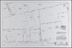
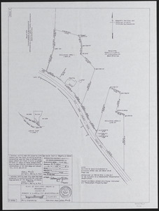
171. Parcel 576, Robert A. Clark and Fifi Scoufopoulos Land Creator: Berry, W. L. Format: Maps/Atlases Collection: The Harvard Forest Map Collection Date: June 3, 2011 Institution: Harvard Forest Archives
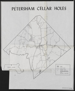
172. Petersham Cellar Holes Format: Maps/Atlases Collection: The Harvard Forest Map Collection Date: 1907–2014 Institution: Harvard Forest Archives
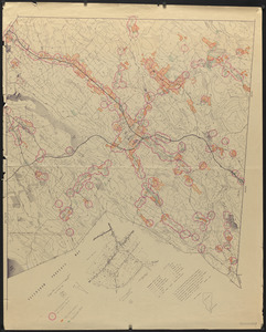
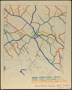
173. Petersham Map Showing State, Town, and Discontinued Roads Creator: Gould, E. M.; Lyford, Walter Henry, 1909- Format: Maps/Atlases Collection: The Harvard Forest Map Collection Date: 1974–2014 Institution: Harvard Forest Archives
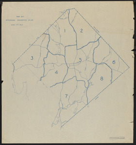
174. Petersham Property Map Atlas - Map Key Creator: Harvard Forest (Research facility) Format: Maps/Atlases Collection: The Harvard Forest Map Collection Date: 1947 Institution: Harvard Forest Archives
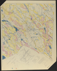
175. Petersham Property Map Delineating Open Water, Swamps, Slopes 8-15%, 15+% Creator: Taintor, E. J. Format: Maps/Atlases Collection: The Harvard Forest Map Collection Date: August 29, 1974 Institution: Harvard Forest Archives
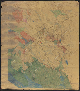
176. Petersham property maps Creator: Lyford, Walter Henry, 1909-; Gould, E. M., Jr. Format: Maps/Atlases Collection: The Harvard Forest Map Collection Date: January 1, 1974 Institution: Harvard Forest Archives
177. Petersham property maps Creator: Lyford, Walter Henry, 1909-; Gould, E. M., Jr. Format: Maps/Atlases Collection: The Harvard Forest Map Collection Date: April 18, 1980 Institution: Harvard Forest Archives
178. Petersham property maps Creator: Lyford, Walter Henry, 1909-; Gould, E. M., Jr. Format: Maps/Atlases Collection: The Harvard Forest Map Collection Date: January 1, 1977 Institution: Harvard Forest Archives
179. Petersham property maps Creator: Lyford, Walter Henry, 1909-; Gould, E. M., Jr. Format: Maps/Atlases Collection: The Harvard Forest Map Collection Date: July 1, 1978 Institution: Harvard Forest Archives
180. Petersham property maps Creator: Lyford, Walter Henry, 1909-; Gould, E. M., Jr. Format: Maps/Atlases Collection: The Harvard Forest Map Collection Date: 1974 Institution: Harvard Forest Archives