Search
Limit your search
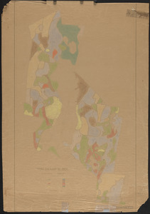
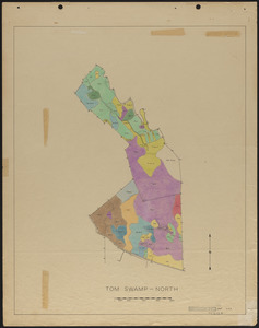
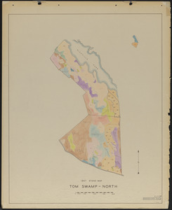
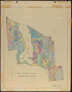
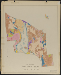
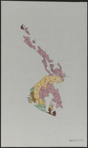
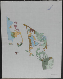
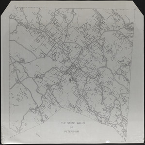
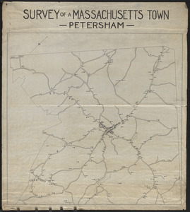
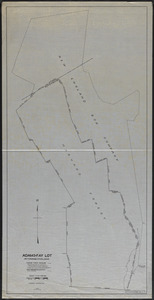
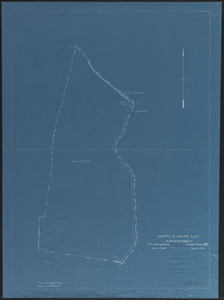
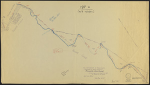
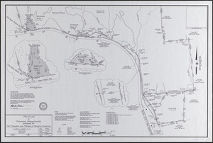
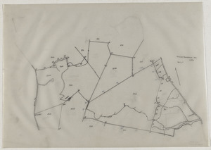
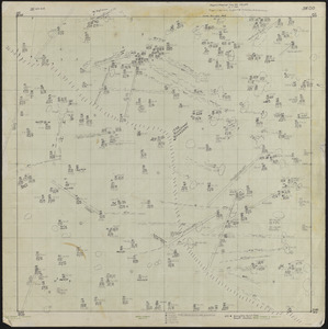
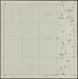
- The Harvard Forest Map Collection647
- Anti-Slavery (Collection of Distinction)11
- Ziba B. Oakes Papers, 1852-185711
- Historical Society of Old Yarmouth Archives and Local History Collection10
- Emily Dickinson Collection, 1862-19076
- American Archive of Public Broadcasting Collection2
- Burgett-Irey Family Papers, 1832-20122
- MA Reardon Collection2