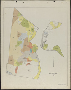
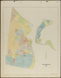
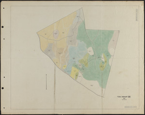
641. Tom Swamp VII 1929 stand map Creator: Salls, M. R. Format: Maps/Atlases Collection: The Harvard Forest Map Collection Date: 1929 Institution: Harvard Forest Archives
642. Tom Swamp VII 1931 stand map Creator: Borg, R. M. Format: Maps/Atlases Collection: The Harvard Forest Map Collection Date: 1931 Institution: Harvard Forest Archives
643. Tom Swamp VII 1937 stand map Creator: Rowlands, W. Format: Maps/Atlases Collection: The Harvard Forest Map Collection Date: 1937 Institution: Harvard Forest Archives
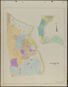
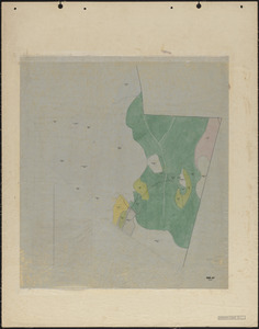
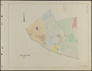
644. Tom Swamp VIII 1923-27 stand map Creator: Lockard, C. R., 1900-; Hosley, N. W. (Neil Wetmore), 1901- Format: Maps/Atlases Collection: The Harvard Forest Map Collection Date: 1925–1927 Institution: Harvard Forest Archives
645. Tom Swamp VIII 1928 stand map Creator: Hosley, N. W. (Neil Wetmore), 1901- Format: Maps/Atlases Collection: The Harvard Forest Map Collection Date: 1928 Institution: Harvard Forest Archives
646. Tom Swamp VIII 1937 stand map Creator: Rowlands, W. Format: Maps/Atlases Collection: The Harvard Forest Map Collection Date: 1937 Institution: Harvard Forest Archives
647. Topographic Map of Harvard Forest Creator: Stout, B. B. Format: Maps/Atlases Collection: The Harvard Forest Map Collection Date: 1952 Institution: Harvard Forest Archives
648. Topographic Map of Harvard Forest Creator: Tomlin, D. Format: Maps/Atlases Collection: The Harvard Forest Map Collection Date: 1985 Institution: Harvard Forest Archives
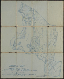
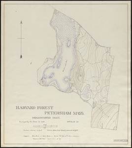
649. Topographic map of Meadow-water Tract (TS I-VII) Creator: Harvard Forest Class of 1908 Format: Maps/Atlases Collection: The Harvard Forest Map Collection Date: May 1908 Institution: Harvard Forest Archives
650. Topographic map of Meadow-water Tract (TS I-VII) Creator: Gould, H. F.; Harvard Forest Class of 1908 Format: Maps/Atlases Collection: The Harvard Forest Map Collection Date: May 1908 Institution: Harvard Forest Archives
651. Topographic map of Meadow-water Tract (TS I-VII) Creator: Freedman, P. J.; Harvard Forest Class of 1908 Format: Maps/Atlases Collection: The Harvard Forest Map Collection Date: 1908 Institution: Harvard Forest Archives
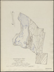
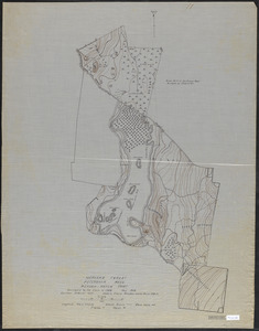
652. Topographic map of Meadow-water Tract (TS I-VIII) Creator: Harvard Forest Class of 1908; Harvard Forest Class of 1911 Format: Maps/Atlases Collection: The Harvard Forest Map Collection Date: 1911 Institution: Harvard Forest Archives
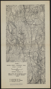
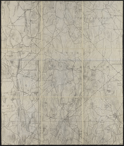
653. Topographic Map of Petersham Creator: Geological Survey (U.S.) Format: Maps/Atlases Collection: The Harvard Forest Map Collection Date: 1907–2014 Institution: Harvard Forest Archives
654. Topographic Map of Petersham Creator: Geological Survey (U.S.) Format: Maps/Atlases Collection: The Harvard Forest Map Collection Date: 1907–2014 Institution: Harvard Forest Archives
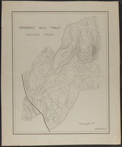
655. Topographic Map of Prospect Hill Tract Format: Maps/Atlases Collection: The Harvard Forest Map Collection Date: 1945 Institution: Harvard Forest Archives
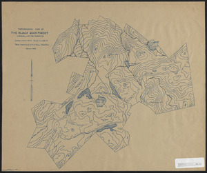
656. Topographic map of the Black Rock Forest Creator: Tryon, H. H. Format: Maps/Atlases Collection: The Harvard Forest Map Collection Date: January 1929 Institution: Harvard Forest Archives
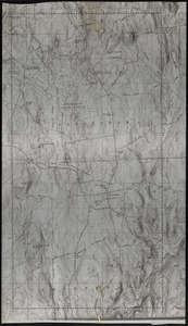
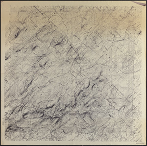
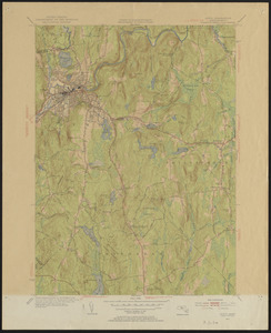
657. Topographic Maps of 7.5' Athol Creator: Geological Survey (U.S.) Format: Maps/Atlases Collection: The Harvard Forest Map Collection Date: 1954 Institution: Harvard Forest Archives
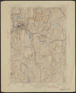
658. Topographic maps of 7.5' Athol quad Creator: Geological Survey (U.S.) Format: Maps/Atlases Collection: The Harvard Forest Map Collection Date: 1946 Institution: Harvard Forest Archives
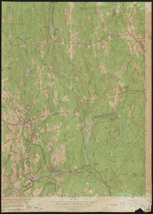
659. Topographic Maps of 7.5' Barre Creator: Geological Survey (U.S.) Format: Maps/Atlases Collection: The Harvard Forest Map Collection Date: 1954 Institution: Harvard Forest Archives
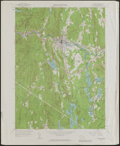
660. Topographic Maps of 7.5' Orange Creator: Geological Survey (U.S.) Format: Maps/Atlases Collection: The Harvard Forest Map Collection Date: 1961 Institution: Harvard Forest Archives