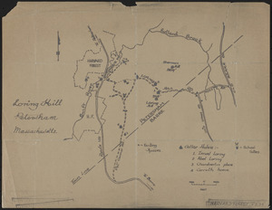
141. Loring Hill Format: Maps/Atlases Collection: The Harvard Forest Map Collection Date: 1907–2014 Institution: Harvard Forest Archives
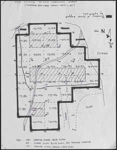
142. Lyford Grid Map with Points Creator: Lyford, Walter Henry, 1909- Format: Maps/Atlases Collection: The Harvard Forest Map Collection Date: 1969 Institution: Harvard Forest Archives
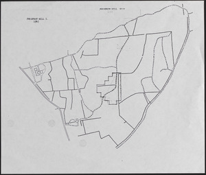
143. Lyford Grid overlayed onto 1947 Prospect Hill I and VII map Creator: Lyford, Walter Henry, 1909- Format: Maps/Atlases Collection: The Harvard Forest Map Collection Date: 1969 Institution: Harvard Forest Archives
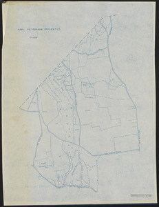
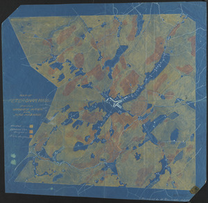
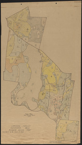
144. Map 1 Petersham Properties Creator: Harvard Forest (Research facility) Format: Maps/Atlases Collection: The Harvard Forest Map Collection Date: 1947 Institution: Harvard Forest Archives
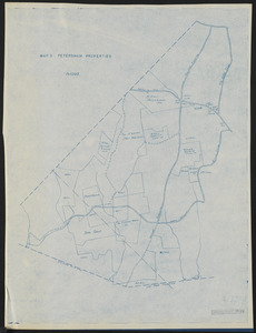
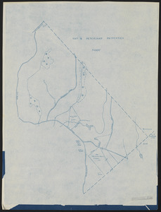
145. Map 2 Petersham Properties Creator: Harvard Forest (Research facility) Format: Maps/Atlases Collection: The Harvard Forest Map Collection Date: 1947 Institution: Harvard Forest Archives
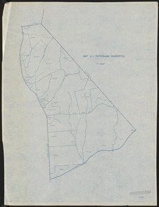
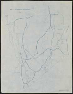
146. Map 3 Petersham Properties Creator: Harvard Forest (Research facility) Format: Maps/Atlases Collection: The Harvard Forest Map Collection Date: 1947 Institution: Harvard Forest Archives
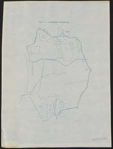
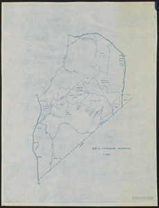
147. Map 4 Petersham Properties Creator: Harvard Forest (Research facility) Format: Maps/Atlases Collection: The Harvard Forest Map Collection Date: 1947 Institution: Harvard Forest Archives
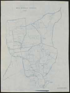
148. Map 5 Petersham Properties Creator: Harvard Forest (Research facility) Format: Maps/Atlases Collection: The Harvard Forest Map Collection Date: 1947 Institution: Harvard Forest Archives
149. Map 6 Petersham Properties Creator: Harvard Forest (Research facility) Format: Maps/Atlases Collection: The Harvard Forest Map Collection Date: 1947 Institution: Harvard Forest Archives
150. Map 7 Petersham Properties Creator: Harvard Forest (Research facility) Format: Maps/Atlases Collection: The Harvard Forest Map Collection Date: 1947 Institution: Harvard Forest Archives
151. Map 8 Petersham Properties Creator: Harvard Forest (Research facility) Format: Maps/Atlases Collection: The Harvard Forest Map Collection Date: 1947 Institution: Harvard Forest Archives
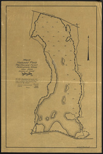
152. Map of Harvard Pond Creator: Rowlands, W. Format: Maps/Atlases Collection: The Harvard Forest Map Collection Date: November 1938 Institution: Harvard Forest Archives
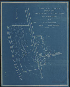
153. Map of land sold by President and Fellows of Harvard to R. T. Fisher Creator: Spaeth, J. Nelson (John Nelson), 1896-1982 Format: Maps/Atlases Collection: The Harvard Forest Map Collection Date: July 1920 Institution: Harvard Forest Archives
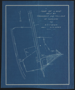
154. Map of Land Sold by President and Fellows of Harvard to R. T. Fisher Creator: Borg, R. M. Format: Maps/Atlases Collection: The Harvard Forest Map Collection Date: [1931?] Institution: Harvard Forest Archives
155. Map of Petersham, Mass. Creator: Dohanian, S. M. Format: Maps/Atlases Collection: The Harvard Forest Map Collection Date: August 1914 Institution: Harvard Forest Archives
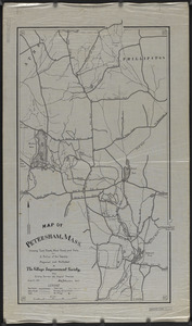
156. Map of Petersham, Showing Wooded Area and Fire Hazards Creator: Rowlands, W. Format: Maps/Atlases Collection: The Harvard Forest Map Collection Date: October 1938 Institution: Harvard Forest Archives
157. Map of the North Part of Petersham with Part of Poquage Format: Maps/Atlases Collection: The Harvard Forest Map Collection Date: 1755 Institution: Harvard Forest Archives
158. Map of the Schwarz Lot Creator: Averill, C. C., Scholz, H.F., and Frost, L.M. Format: Maps/Atlases Collection: The Harvard Forest Map Collection Date: [1930?–1939?] Institution: Harvard Forest Archives
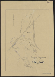
159. Matthews Plantations Hamilton Mass - Black Brook Plantations Format: Maps/Atlases Collection: The Harvard Forest Map Collection Date: 1907–2014 Institution: Harvard Forest Archives
160. Meadow-Water Tract - type map of Tom Swamp I-VIII Creator: Harvard Forest Class of 1908 Format: Maps/Atlases Collection: The Harvard Forest Map Collection Date: 1919 Institution: Harvard Forest Archives