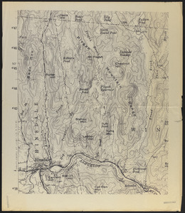
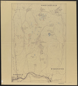
201. Pisgah Tract Creator: Geological Survey (U.S.) Format: Maps/Atlases Collection: The Harvard Forest Map Collection Date: 1907–2014 Institution: Harvard Forest Archives
202. Pisgah Tract - Location of 1927 plots. old growth plots and stump plots Creator: Foster, D. R. Format: Maps/Atlases Collection: The Harvard Forest Map Collection Date: 1988 Institution: Harvard Forest Archives
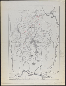
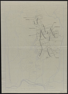
203. Pisgah Tract - Stand Types Format: Maps/Atlases Collection: The Harvard Forest Map Collection Date: [ca. 1988] Institution: Harvard Forest Archives
204. Pisgah Tract - Stand Types Format: Maps/Atlases Collection: The Harvard Forest Map Collection Date: [ca. 1988] Institution: Harvard Forest Archives
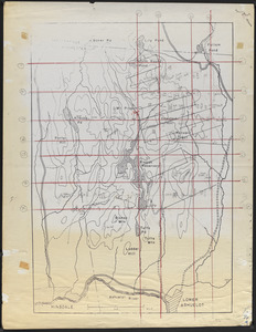
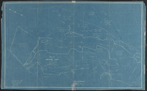
205. Pisgah Tract - Stand Types - Cruise Lines Format: Maps/Atlases Collection: The Harvard Forest Map Collection Date: [ca. 1988] Institution: Harvard Forest Archives
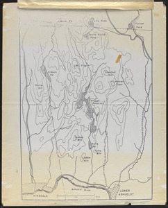
206. Pisgah Tract - Stand Types - Cruise Lines Format: Maps/Atlases Collection: The Harvard Forest Map Collection Date: [ca. 1988] Institution: Harvard Forest Archives
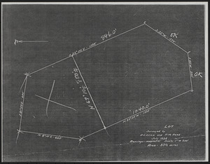
207. Pisgah Tract Lot Surveyed Bearings-Magnetic Creator: Cline, A. C.; Reed, P. M. Format: Maps/Atlases Collection: The Harvard Forest Map Collection Date: July 1924 Institution: Harvard Forest Archives
208. Pisgah Tract Plot Map Format: Maps/Atlases Collection: The Harvard Forest Map Collection Date: 1930 Institution: Harvard Forest Archives
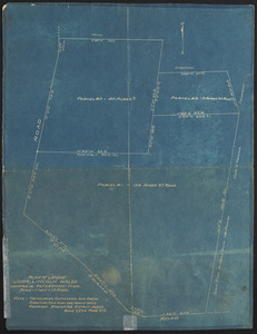
209. Plan of Adams lot and other land Creator: Hastings, H. F. Format: Maps/Atlases Collection: The Harvard Forest Map Collection Date: [ca. 1920] Institution: Harvard Forest Archives
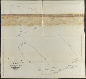
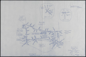
210. Plan of Adonai Shomo land Creator: Caswell, Lilley Brewer, 1848-; Cummings, W. H. Format: Maps/Atlases Collection: The Harvard Forest Map Collection Date: September 6, 1934 Institution: Harvard Forest Archives
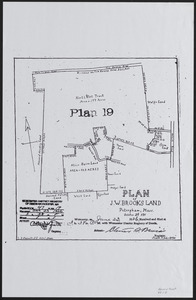
211. Plan of J. W. Brooks Land Creator: Caswell, Lilley Brewer, 1848- Format: Maps/Atlases Collection: The Harvard Forest Map Collection Date: October 2, 1911 Institution: Harvard Forest Archives
212. Plan of Land Block A-Matthews Plantation 2008 Creator: Kane Land Surveyors Format: Maps/Atlases Collection: The Harvard Forest Map Collection Date: October 29, 2008 Institution: Harvard Forest Archives
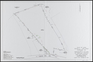
213. Plan of Land Cutler Road (Block A) Matthews Plantation Creator: Kane Land Surveyors; Kane, Peter J. Format: Maps/Atlases Collection: The Harvard Forest Map Collection Date: October 7, 2013 Institution: Harvard Forest Archives
214. Plan of Land Cutler Road (Blocks C, D, E) Matthews Plantation Creator: Kane Land Surveyors; Kane, Peter J. Format: Maps/Atlases Collection: The Harvard Forest Map Collection Date: October 7, 2013 Institution: Harvard Forest Archives
215. Plan of Land in Petersham - Estate of Georgina P. (Fisher) Howland Creator: Berry, W. L. , Jr. Format: Maps/Atlases Collection: The Harvard Forest Map Collection Date: November 6, 1991 Institution: Harvard Forest Archives
216. Plan of Land in Petersham - owned by Petersham Country Club Creator: Berry, E. T. Format: Maps/Atlases Collection: The Harvard Forest Map Collection Date: July 28, 2011 Institution: Harvard Forest Archives
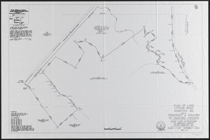
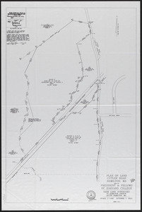
217. Plan of Land in Royalston Mass Owned by The President Fellows of Harvard College Plan No 140 Format: Maps/Atlases Collection: The Harvard Forest Map Collection Date: December 2001 Institution: Harvard Forest Archives
218. Plan of land of John Lincoln Waldo (TS X) Format: Maps/Atlases Collection: The Harvard Forest Map Collection Date: [1910?–1919?] Institution: Harvard Forest Archives
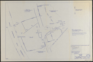
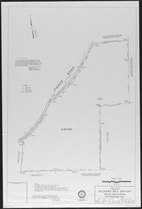
219. Plan of land owned by Richard Neil Bryant, Petersham, MA Creator: Boucher, E. J. Format: Maps/Atlases Collection: The Harvard Forest Map Collection Date: January 25, 2007 Institution: Harvard Forest Archives
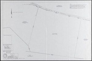
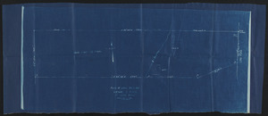
220. Plan of Land Sold - Tall Timbers Format: Maps/Atlases Collection: The Harvard Forest Map Collection Date: 1922 Institution: Harvard Forest Archives