1. SW00 0 x 0 ft. Block of Lyford Grid Creator: Lyford, Walter Henry, 1909-, Carolan, Peter, and Kretschmar, Holly Format: Maps/Atlases Collection: The Harvard Forest Map Collection Date: May 3, 1969–June 2, 1992 Institution: Harvard Forest Archives
2. SW01 0 x 100 ft. Block Lyford Grid Creator: Lyford, Walter Henry, 1909-, Hoagland, Ralph P., Carlson, Joel, Yao, Peikang, and Jacobson, Tom Format: Maps/Atlases Collection: The Harvard Forest Map Collection Date: February 23, 1969–June 2, 1992 Institution: Harvard Forest Archives
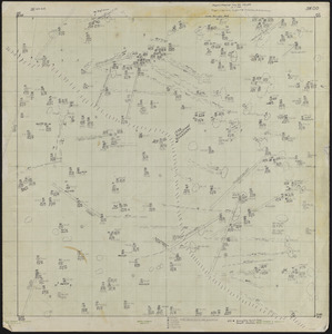
3. SW21 200 x 100 ft. Block Lyford Grid Creator: Lyford, Walter Henry, 1909-, Kretschmar, Holly, and Carolan, Peter Format: Maps/Atlases Collection: The Harvard Forest Map Collection Date: April 30, 1969–June 8, 1992 Institution: Harvard Forest Archives
4. SW31 100 x 300 ft. Block Lyford Grid Creator: Lyford, Walter Henry, 1909-, Williams, Wesley C., Gemborys, S. R., Carolan, Peter, and Kretschmar, Holly Format: Maps/Atlases Collection: The Harvard Forest Map Collection Date: August 9, 1962–May 10, 1992 Institution: Harvard Forest Archives
5. SW32 200 x 300 ft. Block Lyford Grid Creator: Lyford, Walter Henry, 1909-, Sperry, Steve, Gemborys, S. R., Carolan, Peter, and Kretschmar, Holly Format: Maps/Atlases Collection: The Harvard Forest Map Collection Date: August 9, 1962–May 12, 1992 Institution: Harvard Forest Archives
6. SW33 300 x 300 ft. Block Lyford Grid Creator: Lyford, Walter Henry, 1909-, Williams, Wesley C., Gemborys, S. R., Carolan, Peter, and Kretschmar, Holly Format: Maps/Atlases Collection: The Harvard Forest Map Collection Date: April 21, 1969–May 15, 1992 Institution: Harvard Forest Archives
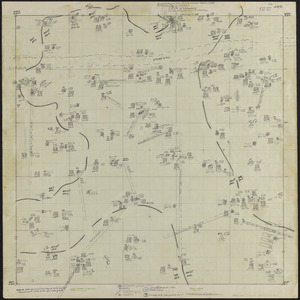
7. SW41 100 x 400 ft. Block Lyford Grid Creator: Lyford, Walter Henry, 1909-, Gemborys, S. R., Kretschmar, Holly, and Carolan, Peter Format: Maps/Atlases Collection: The Harvard Forest Map Collection Date: August 8, 1962–June 30, 1992 Institution: Harvard Forest Archives
8. SW42 400 x 200 ft. Block Lyford Grid Creator: Lyford, Walter Henry, 1909-, Williams, Wesley C., Gemborys, S. R., Kretschmar, Holly, and Carolan, Peter Format: Maps/Atlases Collection: The Harvard Forest Map Collection Date: August 8, 1962–June 7, 1992 Institution: Harvard Forest Archives
9. SW43 400 x 300 ft. Block Lyford Grid Creator: Lyford, Walter Henry, 1909-, Sperry, Steve, Gemborys, S. R., Kretschmar, Holly, and Carolan, Peter Format: Maps/Atlases Collection: The Harvard Forest Map Collection Date: August 9, 1962–June 22, 1992 Institution: Harvard Forest Archives
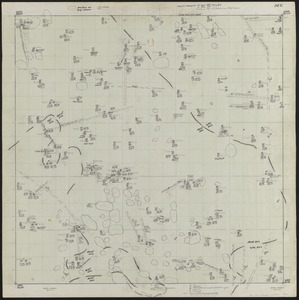
10. SW44 400 x 400 ft. Block Lyford Grid Creator: Lyford, Walter Henry, 1909-, Kretschmar, Holly, and Carolan, Peter Format: Maps/Atlases Collection: The Harvard Forest Map Collection Date: May 8, 1969–June 23, 1992 Institution: Harvard Forest Archives
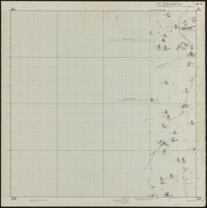
11. SW52 500 x 200 ft. Block Lyford Grid Creator: Lyford, Walter Henry, 1909-, Carolan, Peter, and Kretschmar, Holly Format: Maps/Atlases Collection: The Harvard Forest Map Collection Date: April 25, 1969–June 25, 1992 Institution: Harvard Forest Archives
12. 1956 Cruise of Timber, Prospect Hill Block - 1956 Format: Maps/Atlases Collection: The Harvard Forest Map Collection Date: 1956 Institution: Harvard Forest Archives
13. 3-cut shelterwood. Adams-Fay Lot (TS IX) 1934 Creator: Karnig, Jack J. Format: Maps/Atlases Collection: The Harvard Forest Map Collection Date: December 1934 Institution: Harvard Forest Archives
14. Adams-Fay Lot (TS IX) 1929 stand map Creator: Salls, M. R. Format: Maps/Atlases Collection: The Harvard Forest Map Collection Date: 1929 Institution: Harvard Forest Archives
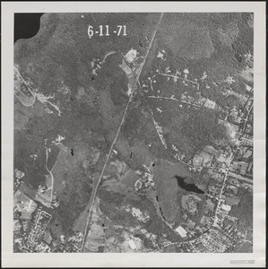
15. Aerial Photograph of Matthews Plantation Format: Photographs Collection: The Harvard Forest Map Collection Date: June 11, 1971 Institution: Harvard Forest Archives
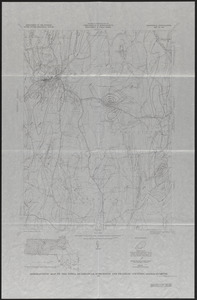
16. Aeromagnetic Map of the Athol Quadrangle, Worcester and Franklin Counties, MA Creator: Geological Survey (U.S.) Format: Maps/Atlases Collection: The Harvard Forest Map Collection Date: 1971 Institution: Harvard Forest Archives
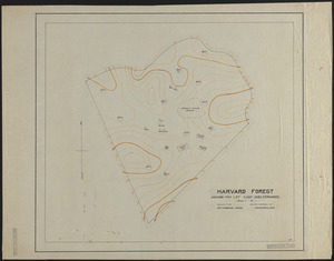
17. Base Map of Prospect Hill, Tom Swamp, and Slab City Tracts Creator: Spurr, Stephen H., 1918-1990 Format: Maps/Atlases Collection: The Harvard Forest Map Collection Date: 1945 Institution: Harvard Forest Archives
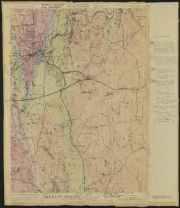
18. Bedrock Geology of the Athol Quadrangle Creator: Geological Survey (U.S.); Eschman, D.F. Format: Maps/Atlases Collection: The Harvard Forest Map Collection Date: 1954 Institution: Harvard Forest Archives
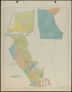
19. Beirne B. Brues Property Deeded to President and Fellows of Harvard College – Tall Timbers Creator: Norberg, Edward Format: Maps/Atlases Collection: The Harvard Forest Map Collection Date: August 6, 1964 Institution: Harvard Forest Archives
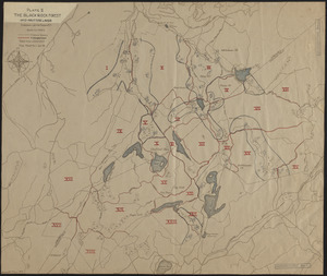
20. The Black Rock Forest Creator: Tryon, H. H. Format: Maps/Atlases Collection: The Harvard Forest Map Collection Date: January 1929 Institution: Harvard Forest Archives