Skip to search
Skip to main content
Skip to first result
Digital Commonwealth
Folders
Sign Up / Log In
Search for
Search
Search
Search
Basic
Advanced
Explore
Map
Collections
Institutions
Formats
For Educators
Primary Source Sets
Lesson Plans
Using Primary Sources
Searching Digital Commonwealth
For Institutions
Join Digital Commonwealth
Conferences, Trainings, & Events
How to Contribute Collections
Digitization Services
Board & Committees
Frequently Asked Questions
About
About Digital Commonwealth
News & Announcements
Copyright & Terms of Use
Harmful Content Statement
Partners
API
Contact Us
Search
Search Constraints
Start Over
Save Search
Your search:
More Like
commonwealth:qv33td62s
✖
Remove constraint More Like: commonwealth:qv33td62s
« Prev.
|
481
-
500
of
647
|
Next »
Sort
by relevance
relevance
title
date (asc)
date (desc)
recently added
Number of results to display per page
20
per page
per page
10
per page
20
per page
50
per page
100
per page
View results as:
List
list view
Maps
map view
Gallery
grid view
Search Results
481.
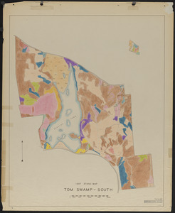
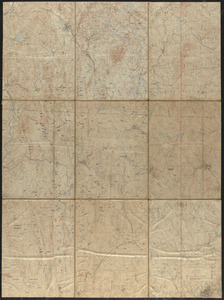
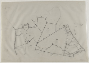
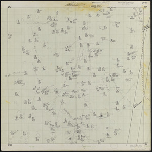
Stand maps of Tom Swamp-South 1947
482.
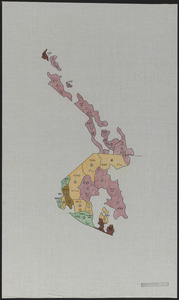
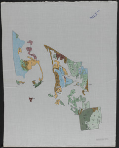
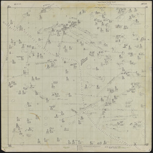
Standing timber by type, volume and quality Tom Swamp North
483.
Standing timber by type, volume and quality Tom Swamp South
484.
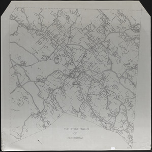
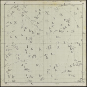
The Stone Walls of Petersham - mylar overlay
485.
Study of Cutover Old Field Pine Stands
486.
Subdivision of Parcel 579 - Nadeau Realty, Inc
487.
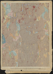
Surficial Geologic Map of the Athol Quadrangle. MA
488.
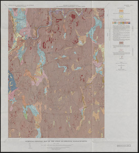
Surficial Geology and glaciofluvial sequences of the Athol Quadrangle - preliminary map 1963 and final maps 1966
489.
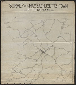
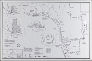
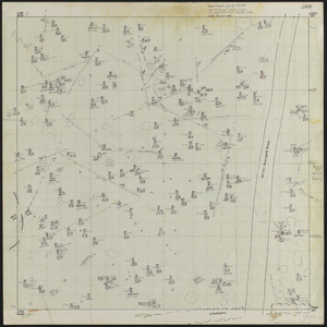
Survey of a Massachusetts Town - Petersham
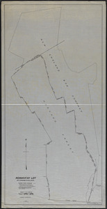
490.
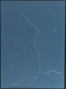
Survey of Adams-Fay Lot (TS IX)
491.
Survey of Joseph C. Smith Lot (TS VII) Tom Swamp Block
492.
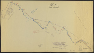
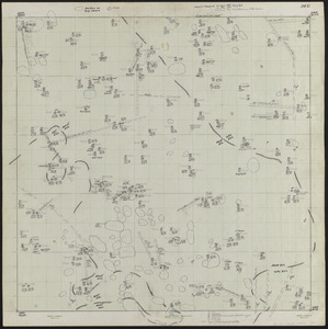
Survey of Riceville Dam and North Boundary of TS IX
493.
Survey of Tom Swamp South, Petersham, MA
494.
Surveys of Petersham Lots
495.
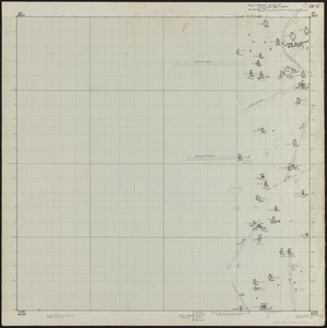
SW00 0 x 0 ft. Block of Lyford Grid
496.
SW01 0 x 100 ft. Block Lyford Grid
497.
SW10 100 x 0 ft. Block Lyford Grid
498.
SW11 100 x 100 ft. Block Lyford Grid
499.
SW20 200 x 0 ft. Block Lyford Grid
500.
SW21 200 x 100 ft. Block Lyford Grid
« Previous
Next »
1
2
…
21
22
23
24
25
26
27
28
29
…
32
33
Limit your search
Subject
Boundaries
151
Forest operations
47
1937
44
1938
41
Hurricanes
37
Land use
37
1946
31
Forest Operations
27
more
Subject
»
Place
North and Central America
647
United States
647
Massachusetts
624
Worcester (county)
597
Petersham
588
Tom Swamp
158
Prospect Hill
153
Tom Swamp Tract
97
more
Place
»
Format
Maps/Atlases
646
Manuscripts
4
Photographs
1
Available to use
Creative Commons license
647
Date
View distribution
Current results range from
1755
to
2016
Date range begin
Date range end
View larger »
Collection
The Harvard Forest Map Collection
647
Institution
Harvard University
647