Skip to search
Skip to main content
Skip to first result
Digital Commonwealth
Folders
Sign Up / Log In
Search for
Search
Search
Search
Basic
Advanced
Explore
Map
Collections
Institutions
Formats
For Educators
Primary Source Sets
Lesson Plans
Using Primary Sources
Searching Digital Commonwealth
For Institutions
Join Digital Commonwealth
Conferences, Trainings, & Events
How to Contribute Collections
Digitization Services
Board & Committees
Frequently Asked Questions
About
About Digital Commonwealth
News & Announcements
Copyright & Terms of Use
Harmful Content Statement
Partners
API
Contact Us
Search
Search Constraints
Start Over
Save Search
Your search:
More Like
commonwealth:tx31tb698
✖
Remove constraint More Like: commonwealth:tx31tb698
« Prev. |
1
-
20
of
5,722
|
Next »
Sort
by relevance
relevance
title
date (asc)
date (desc)
Number of results to display per page
20
per page
per page
10
per page
20
per page
50
per page
100
per page
View results as:
List
list view
Maps
map view
Gallery
grid view
Search Results
1.
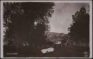
Goose Pond Road
2.
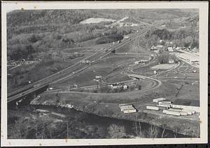
Housatonic River, Turnpike, Clark Aiken
3.
Housatonic Street, turnpike, Route 102, and Clark Aiken
4.
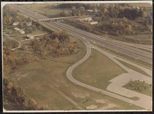
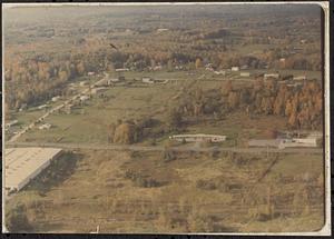
Lee Turnpike and Stockbridge Road
5.
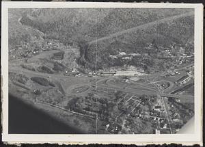
Marble Street and Lee Turnpike Interchange
6.
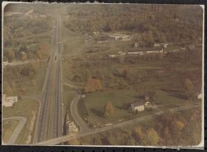
Mass. Turnpike
7.
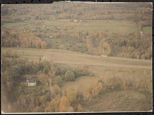
Mass. Turnpike, Prospect Hill
8.
Old Amoco station, East Lee
9.
Route 102, Davis Street
10.
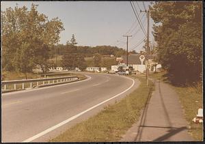
Turnpike
11.
Turnpike
12.
Turnpike
13.
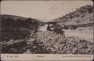
Η ιερα οδος = La voie sacré (d'Athènes à Eleusis)
14.
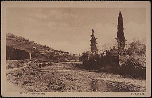
Χιος - Παρθενης
15.
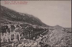
Ἔφεσος. Ή όδός τῆς βιβλιοθήκης = Ephese. La route de la bibliotheque
16.
Ή Ίερὰ Όδός = La voie sacrée (d'Athènes à Eleusis)
17.
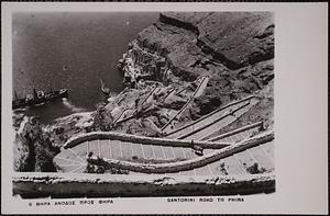
Θηρα ανοδος προς Φηρα = Santorini road to Phira
18.
Ναύπλιον
19.
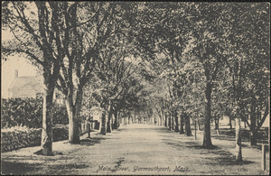
108 Old King's Highway, Yarmouth Port, Mass. on left looking east
20.
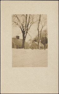
111 Old King's Highway, Yarmouth Port, Mass., snow scene 1926
« Previous
Next »
1
2
3
4
5
…
286
287
Limit your search
Subject
Roads
3,545
Cities and towns
1,680
Land use mapping
1,680
Soil mapping
1,680
United States. Work Projects Administration
1,680
United States. Works Progress Administration
1,680
Floods
593
Business enterprises
512
more
Subject
»
Place
North and Central America
5,097
United States
5,063
Massachusetts
4,612
Berkshire (county)
2,368
Lee
1,976
East Lee
640
Essex (county)
448
Middlesex (county)
387
more
Place
»
Format
Photographs
3,160
Maps/Atlases
1,692
Postcards/Cards
743
Prints
115
Manuscripts
33
Film/Video
29
Ephemera
19
Albums/Scrapbooks
18
more
Format
»
Available to use
No known restrictions
2,634
Creative Commons license
252
Date
View distribution
Current results range from
1683
to
2019
Date range begin
Date range end
View larger »
Unknown
69
Collection
Lee Library Historical Photograph Collection
2,189
Land study maps, 1936-1937
1,680
Tichnor Brothers Postcard Collection
576
Bill Lane Photograph Collection
217
Arlington Historical Society Collection
78
Leon Abdalian Collection
70
Alexander Davidson Photography
48
Edmund L. Mitchell Collection
42
more
Collection
»
Institution
Lee Library Association
2,189
Massachusetts Archives
1,680
Boston Public Library
993
Newburyport Public Library
217
Arlington Historical Society
102
Williams College
48
Hamilton Historical Society
41
Lenox Library Association
35
more
Institution
»