Search
Limit your search
- Boston Herald-Traveler Photo Morgue726
- Lee Library Historical Photograph Collection583
- Leslie Jones Collection376
- Press Photography from the Brearley Collection197
- Buildings, Celebrations, Cemeteries and Headstones, Churches and Synagogues, 1880-1990122
- Meekins Library, Williamsburg, Mass., Local History, Historic Photographs Collection98
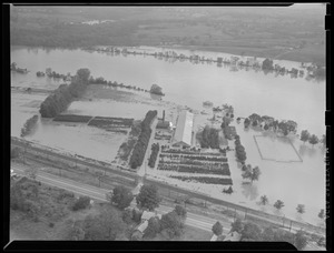
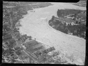
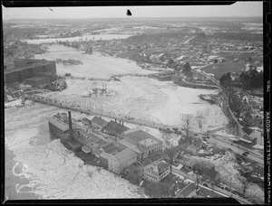
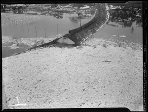
- Lawrence, Mass. Flood of 193677
- Historical Collections, Lawrence Library, Pepperell, MA60