Search
Limit your search
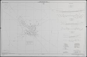
- Aeronautical charts--Illinois--Chicago3
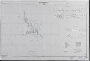
- Aeronautical charts--Michigan--Detroit3
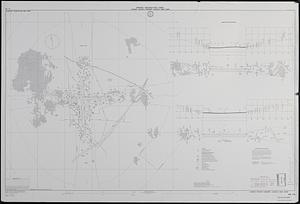
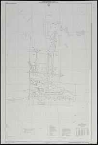
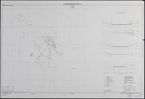
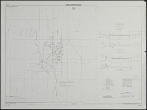
- Airports--Illinois--Chicago--Maps3
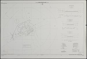
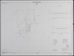
- Airports--Michigan--Detroit--Maps3
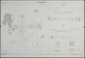
- Runways (Aeronautics)--Illinois--Chicago--Maps3
- Runways (Aeronautics)--Michigan--Detroit3
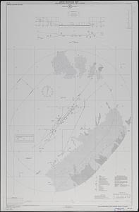
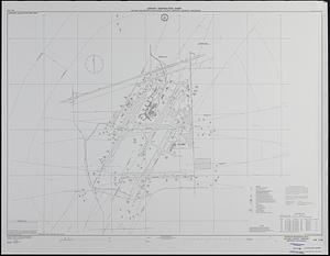
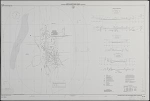
- Aeronautical charts--California--Crescent City2
- Aeronautical charts--California--Fresno2
Current results range from 1975 to 2018