Skip to search
Skip to main content
Skip to first result
Digital Commonwealth
Folders
Sign Up / Log In
Search for
Search
Search
Search
Basic
Advanced
Explore
Map
Collections
Institutions
Formats
For Educators
Primary Source Sets
Lesson Plans
Using Primary Sources
Searching Digital Commonwealth
For Institutions
Join Digital Commonwealth
Conferences, Trainings, & Events
How to Contribute Collections
Digitization Services
Board & Committees
Frequently Asked Questions
About
About Digital Commonwealth
News & Announcements
Copyright & Terms of Use
Harmful Content Statement
Partners
API
Contact Us
Search
Search Constraints
Start Over
Save Search
Your search:
More Like
commonwealth:zp38wk56m
✖
Remove constraint More Like: commonwealth:zp38wk56m
« Prev.
|
21
-
40
of
5,551
|
Next »
Sort
by relevance
relevance
title
date (asc)
date (desc)
recently added
Number of results to display per page
20
per page
per page
10
per page
20
per page
50
per page
100
per page
View results as:
List
list view
Maps
map view
Gallery
grid view
Search Results
21.
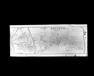
Plan of Atlantic 1876
22.
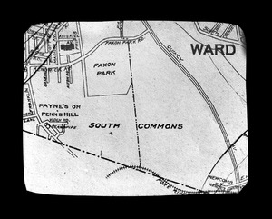
Plan of Faxon Park (South Common)
23.
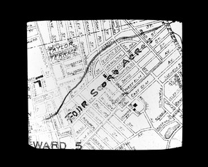
Plan of Four Score Acres
24.
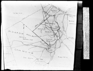
Plan of Furnace Land
25.
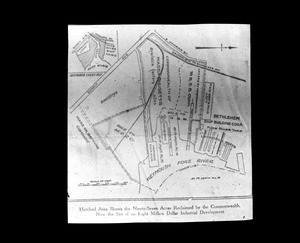
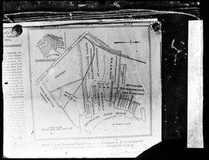
Plan of Quincy Neck land acquired by state
26.
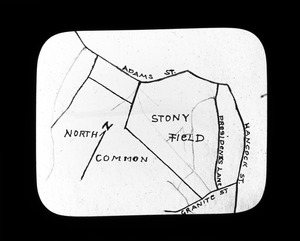
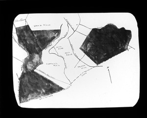
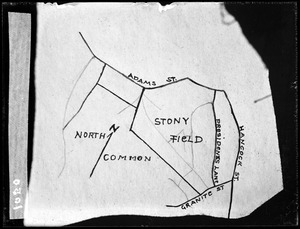
Plan of Stony Field
27.
Plan of Town Commons
28.
Plan of William Ting farm
29.
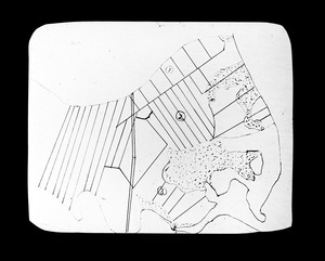
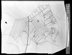
Plan Stony Field
30.
Plan William Ting Farm Merrymount
31.
Quincy Neck Land Acquired by Commonwealth
32.
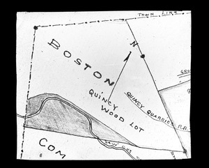
Quincy Wood Lot
33.
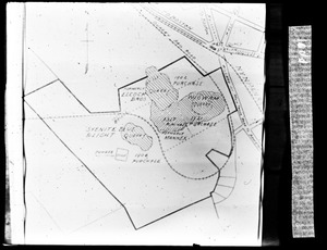
Swingle Quarry land plan
34.
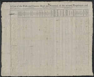
[A list of th]e polls and of the estates, real and personal, of the several proprietors and inhabitants of the [town of...
35.
Abstract of a list of the polls and of the estates, real and personal, of the several proprietors and inhabitants of the town...
36.
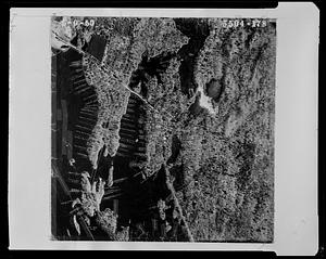
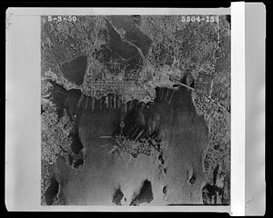
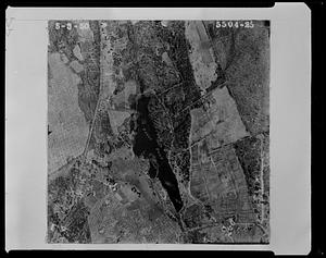
Aerial view of a portion of Hickory Hills Lake
37.
Aerial view of Horizon Island Road, Island Road and and the northern end of Hickory Hills Lake
38.
Aerial view of Page's Pond and surrounding properties
39.
Aerial view of properties near Hickory Hills Lake and Town of Lunenburg and Hickory Hill Lake Corporation
40.
Aerial view of properties near Lancaster Avenue and North Leominster Rod and Gun
« Previous
Next »
1
2
3
4
5
6
…
277
278
Limit your search
Subject
Houses
698
Cities & towns
365
Hancock Street
260
Schools
233
Churches
232
Business enterprises
226
Stores & shops
220
Land subdivision
214
more
Subject
»
Place
North and Central America
5,536
United States
5,532
Massachusetts
5,531
Norfolk (county)
5,373
Quincy
5,370
Lunenburg
151
Worcester (county)
151
Cuba
4
more
Place
»
Format
Photographs
5,524
Documents
16
Manuscripts
16
Drawings/Illustrations
6
Maps/Atlases
5
Letters/Correspondence
2
Objects/Artifacts
2
Available to use
Creative Commons license
5,385
No known restrictions
154
Date
View distribution
Current results range from
1737
to
2005
Date range begin
Date range end
View larger »
Collection
Parker Collection
5,370
1950 Aerial Mapping of Lunenburg, Ma.
151
Watertown Miscellaneous
14
Plans & Drawings, c.1847-1979 (Bulk 1882-1970)
5
Peak House Institutional Records Collection
3
Digital Amherst Collection
2
Stereograph Collection
2
Arlington Historical Society Collection
1
more
Collection
»
Institution
Thomas Crane Public Library
5,370
Lunenburg Massachusetts Historical Society
151
Watertown Free Public Library
15
Frederick Law Olmsted National Historic Site
5
Peak House Heritage Center
3
Arlington Historical Society
2
Boston Public Library
2
Jones Library, Amherst
2
more
Institution
»
We'd love your feedback!
×
Would you be interested in taking a short survey about Digital Commonwealth?
![[A list of th]e polls and of the estates, real and personal, of the several proprietors and inhabitants of the [town of Watertown in] the county of Middlesex taken pursuant to an act of the general court of this commonwealth of Massachusetts, intitled, “An act for inquiring into the rateable estates of this Common[wealth," passed in the y]ear of our Lord, one thousand seven hundred and ninety-two, taken by the subscribers, assessors of the said town, duly elected and sworn.](https://bpldcassets.blob.core.windows.net/derivatives/images/commonwealth:rb68xj98h/image_thumbnail_300.jpg)