Skip to search
Skip to main content
Skip to first result
Digital Commonwealth
Folders
Sign Up / Log In
Search for
Search
Search
Search
Basic
Advanced
Explore
Map
Collections
Institutions
Formats
For Educators
Primary Source Sets
Lesson Plans
Using Primary Sources
Searching Digital Commonwealth
For Institutions
Join Digital Commonwealth
Conferences, Trainings, & Events
How to Contribute Collections
Digitization Services
Board & Committees
Frequently Asked Questions
About
About Digital Commonwealth
News & Announcements
Copyright & Terms of Use
Harmful Content Statement
Partners
API
Contact Us
Search
Search Constraints
Start Over
Save Search
Your search:
More Like
commonwealth-oai:4b29d042v
✖
Remove constraint More Like: commonwealth-oai:4b29d042v
« Prev.
|
1,281
-
1,300
of
1,392
|
Next »
Sort
by relevance
relevance
title
date (asc)
date (desc)
recently added
Number of results to display per page
20
per page
per page
10
per page
20
per page
50
per page
100
per page
View results as:
List
list view
Maps
map view
Gallery
grid view
Search Results
1281.
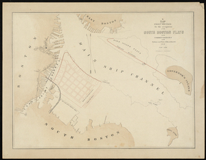
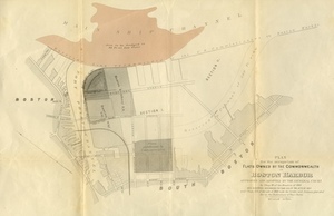
Plan for the Occupation of Flats Owned by the Commonwealth in Boston Harbor
1282.
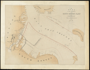
Plan For the Occupation of the South Boston Flats by the Commissioners on the Harbors and Flats of Massachusetts
1283.
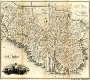
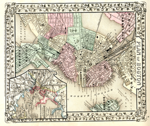
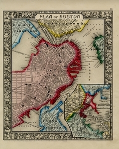
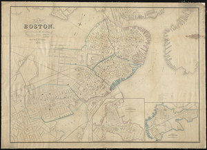
Plan of Boston.
1284.
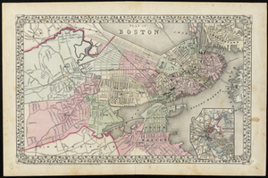
Plan of Boston
1285.
Plan of Boston
1286.
Plan of Boston and its Vicinity Prepared from the Best Authorities for the Boston Almanac
1287.
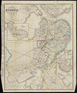
Plan of Boston: Comprising a Part of Charlestown and Cambridge
1288.
Plan of Boston, Prepared Under the Direction of Otis Clapp (Alderman), William W. Clapp, Jr., Justin Jones (Councilmen),...
1289.
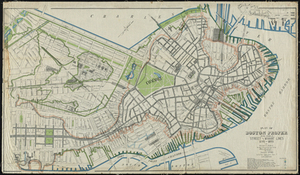
Plan of Boston Proper Showing Changes in Street and Wharf Lines 1795 to 1895
1290.
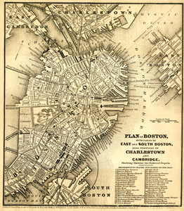
Plan of Boston With Parts of East and South Boston, Also Portions of Charlestown and Cambridge.
1291.
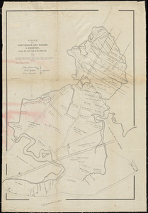
[Plan of Boundary Lines in Roxbury and the City of Boston.]
1292.
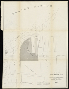
Plan of South Boston Flats Showing Location of Sea Walls and Area of Excavations and Filling
1293.
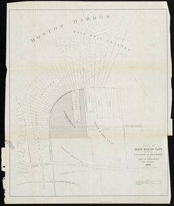
Plan of South Boston Flats Showing Location of Sea Walls and Area of Excavations and Filling
1294.
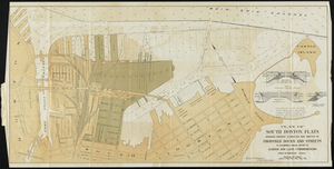
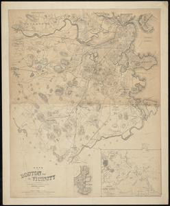
Plan of South Boston Flats Showing Present Condition and Sketch of Proposed Docks and Streets to Accompany Annual Report of...
1295.
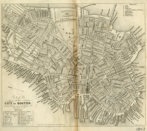
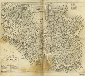
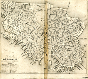
Plan of the City of Boston
1296.
Plan of the City of Boston
1297.
Plan of the City of Boston
1298.
Plan of the City of Boston.
1299.
Plan of the First Section for the Occupation of the South Boston Flats by the Commissioners on the Harbors and Flats of...
1300.
A Plan of the Salt Marsh and Upland in Roxbury, Lying on the East Side of the Mill Creek.
« Previous
Next »
1
2
…
61
62
63
64
65
66
67
68
69
70
Limit your search
Subject
Pbs Newshour
1,051
Washington
926
Macneil Lehrer
874
Obama
794
Jeffrey Brown
766
Brown
760
Ray Suarez
578
Afghanistan
552
more
Subject
»
Place
North and Central America
106
United States
106
Massachusetts
100
Suffolk (county)
72
Boston
71
Norfolk (county)
15
Quincy
15
Europe
10
more
Place
»
Format
Film/Video
1,206
Maps/Atlases
74
Photographs
42
Audio recordings (nonmusical)
20
Documents
19
Objects/Artifacts
15
Posters
8
Postcards/Cards
5
more
Format
»
Available to use
Creative Commons license
17
No known restrictions
1
Date
View distribution
Current results range from
1764
to
2020
Date range begin
Date range end
View larger »
Unknown
21
Collection
American Archive of Public Broadcasting Collection
1,195
Historic Maps
74
Oral Histories
30
Arlington Historical Society Collection
25
Parker Collection
14
Stephen Lewis poster collection, circa 1921-2017
8
Bird Collection
6
Digitized Museum Collections
6
more
Collection
»
Institution
Internet Archive
1,159
Salem State University Archives and Special Collections
74
Arlington Historical Society
39
Yiddish Book Center
30
Illinois Public Media (WILL)
18
WGBH
16
Thomas Crane Public Library
14
University of Massachusetts Boston, Joseph P. Healey Library
13
more
Institution
»
We'd love your feedback!
×
Would you be interested in taking a short survey about Digital Commonwealth?
![[Plan of Boundary Lines in Roxbury and the City of Boston.]](https://bpldcassets.blob.core.windows.net/derivatives/metadata/commonwealth-oai:ws859n97k/image_thumbnail_300.jpg)