Skip to search
Skip to main content
Skip to first result
Digital Commonwealth
Folders
Sign Up / Log In
Search for
Search
Search
Search
Basic
Advanced
Explore
Map
Collections
Institutions
Formats
For Educators
Primary Source Sets
Lesson Plans
Using Primary Sources
Searching Digital Commonwealth
For Institutions
Join Digital Commonwealth
Conferences, Trainings, & Events
How to Contribute Collections
Digitization Services
Board & Committees
Frequently Asked Questions
About
About Digital Commonwealth
News & Announcements
Copyright & Terms of Use
Harmful Content Statement
Partners
API
Contact Us
Search
Search Constraints
Start Over
Save Search
Your search:
More Like
commonwealth-oai:70798f46w
✖
Remove constraint More Like: commonwealth-oai:70798f46w
« Prev. |
1
-
20
of
1,745
|
Next »
Sort
by relevance
relevance
title
date (asc)
date (desc)
recently added
Number of results to display per page
20
per page
per page
10
per page
20
per page
50
per page
100
per page
View results as:
List
list view
Maps
map view
Gallery
grid view
Search Results
1.
Area between Canal, Causeway, Haverhill, Traverse Street from Union Street
2.
Area between Traverse, Causeway, Canal and Haverhill Streets
3.
Atlantic Avenue looking north from Dewey Square
4.
Atlantic Avenue looking south from near Eastern Avenue
5.
Atlantic Avenue looking south from near Oliver Street
6.
Atlantic Avenue opposite Commerce Street
7.
Atlantic Avenue shaft section B looking east, excavation for East Boston Tunnel in foreground
8.
Battery Street Station extension platform
9.
Bracing the elevated after a ship hit the High Bridge
10.
Canopy at Thompson Square Station
11.
Castle and Washington Streets
12.
Castle Street and railroad crossing
13.
Castle Street at Shamut Avenue
14.
Castle Street at Shamut Avenue
15.
Castle Street crossing over railway
16.
Castle Street from switch tower
17.
Castle Street junction looking east on Motte Street
18.
Castle Street Y
19.
Castle Street Y and Motte Street
20.
Castle Street Y new location of tower
« Previous
Next »
1
2
3
4
5
…
87
88
Limit your search
Subject
Boston Elevated Railway Company
1,273
Construction projects
671
Local transit
442
Boston (Mass.)
398
Local transit stations
344
North End (Boston, Mass.)
173
Roxbury (Boston, Mass.)
165
Charlestown (Boston, Mass.)
145
more
Subject
»
Place
North and Central America
1,639
United States
1,639
Massachusetts
1,633
Boston
1,530
Suffolk (county)
1,530
Charlestown
173
Roxbury
168
North End
144
more
Place
»
Format
Photographs
1,614
Manuscripts
72
Maps/Atlases
24
Posters
21
Prints
21
Objects/Artifacts
7
Letters/Correspondence
4
Drawings/Illustrations
4
more
Format
»
Available to use
No known restrictions
104
Creative Commons license
72
Date
View distribution
Current results range from
1860
to
2000
Date range begin
Date range end
View larger »
Unknown
11
Collection
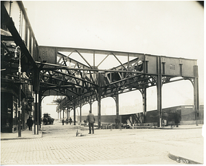
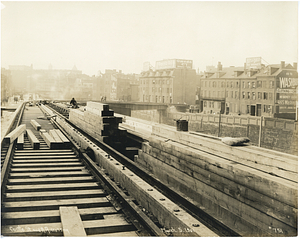
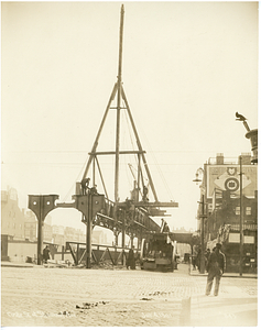
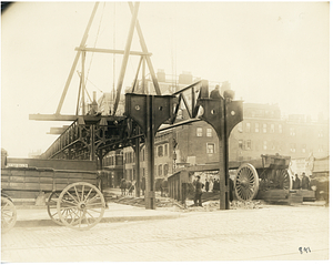
Boston Elevated Photographs: North Station Lechmere
205
Boston Elevated Photographs: Accidents
192
Boston Elevated Photographs: Sullivan Everett
126
Dorchester Rapid Transit System Photographs
121
Boston Elevated Photographs: South End
120
Boston Elevated Photographs: Atlantic Avenue
113
Boston Elevated Photographs: Forest Hills Roxbury
104
Boston Elevated Photographs: Dudley
94
more
Collection
»
Institution
Boston City Archives
1,462
Boston Public Library
133
Special Collections and University Archives, University of Massachusetts Amherst Libraries
47
Historic New England
29
Bentley University
27
Public Library of Brookline
25
U.S. Army Natick Soldier Systems Center
19
Northeastern University Library
2
more
Institution
»