Search

Limit your search
- North and Central America2,229
- United States2,057
- Massachusetts1,600
- Suffolk (county)1,251
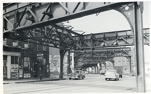
- Boston1,247
- Charlestown169
- Roxbury167
- North End142
- Civil Defense Photographs1,112
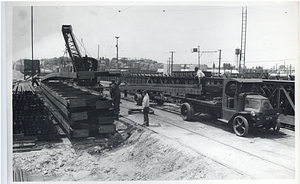
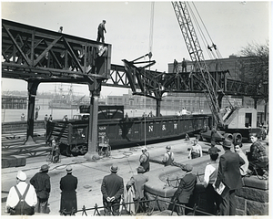
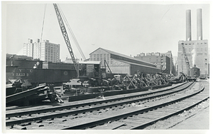
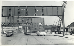
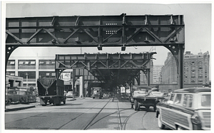
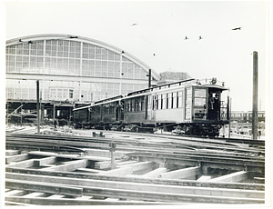
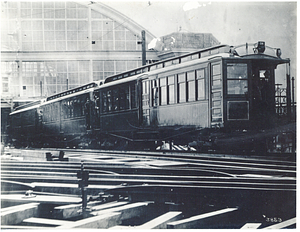
- Boston Elevated Photographs: North Station Lechmere205
- Boston Elevated Photographs: Accidents192
- Boston Elevated Photographs: Sullivan Everett126
- Boston Elevated Photographs: South End120
- Boston Elevated Photographs: Atlantic Avenue113
- Boston Elevated Photographs: Forest Hills Roxbury104
- Boston Elevated Photographs: Dudley94