Skip to search
Skip to main content
Skip to first result
Digital Commonwealth
Folders
Sign Up / Log In
Search for
Search
Search
Search
Basic
Advanced
Explore
Map
Collections
Institutions
Formats
For Educators
Primary Source Sets
Lesson Plans
Using Primary Sources
Searching Digital Commonwealth
For Institutions
Join Digital Commonwealth
Conferences, Trainings, & Events
How to Contribute Collections
Digitization Services
Board & Committees
Frequently Asked Questions
About
About Digital Commonwealth
News & Announcements
Copyright & Terms of Use
Harmful Content Statement
Partners
API
Contact Us
Search
Search Constraints
Start Over
Save Search
Your search:
More Like
commonwealth-oai:fq978g533
✖
Remove constraint More Like: commonwealth-oai:fq978g533
« Prev.
|
601
-
620
of
921
|
Next »
Sort
by relevance
relevance
title
date (asc)
date (desc)
recently added
Number of results to display per page
20
per page
per page
10
per page
20
per page
50
per page
100
per page
View results as:
List
list view
Maps
map view
Gallery
grid view
Search Results
601.
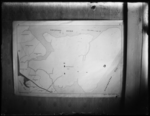
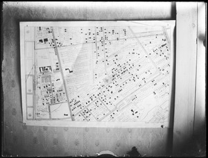
Quincy Atlas
602.
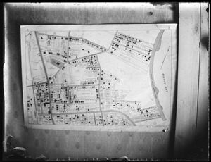
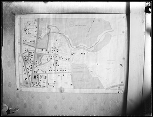
Quincy Atlas
603.
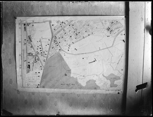
Quincy Atlas
604.
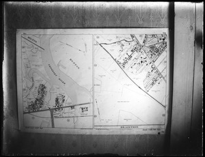
Quincy Atlas
605.
Quincy Atlas
606.
Quincy Atlas
607.
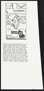
Rejuvenated Cleo-- Killer hurricane Cleo tonight rages toward southeast Florida, with winds up to 125 miles an hour and pushing...
608.
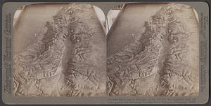
Relief map of Palestine
609.
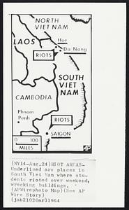
Riot Areas- Underlined are places in South Viet Nam where students rioted over weekend, wrecking buildings.
610.
"Rolling" a map color form on a flat bed press. The plates pictured here have been made by the wax engraving process. In many...
611.
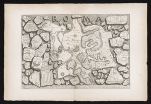
Roma
612.
Salem Coast Guard
613.
Salem, maps and plans
614.
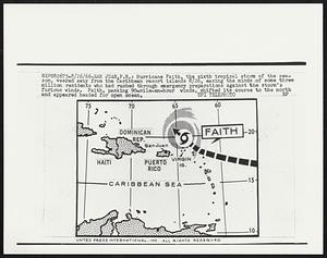
San Juan, P.R.: Hurricane Faith, the sixth tropical storm of the season, veered away from the Caribbean resort islands 8/26,...
615.
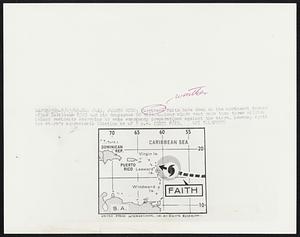
San Juan, Puerto Rico: Hurricane Fatih bore down on the northwest corner of the Caribbean 8/25 and its dangerous 90...
616.
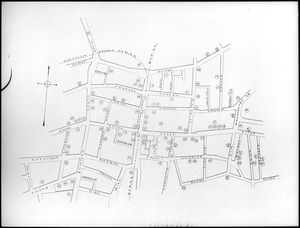
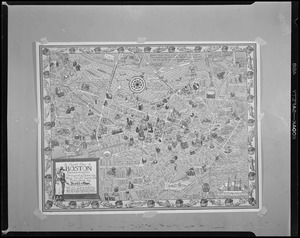
Scott - map of Boston
617.
Scrapbook # 4 1938 forward
618.
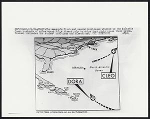
The season's first and second hurricanes whipped up the Atlantic Ocean hundreds of miles apart 9/4, a threat only to ships that...
619.
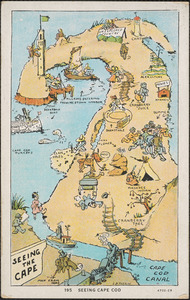
Seeing Cape Cod map
620.
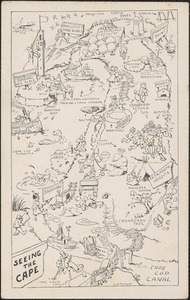
Seeing the cape, Cape Cod map
« Previous
Next »
1
2
…
27
28
29
30
31
32
33
34
35
…
46
47
Limit your search
Subject
Maps
627
Hurricanes
214
Eugenics
87
Excerpts
40
Title pages
33
Homeopathy
30
Heredity
26
Holmes, Oliver Wendell, 1809-1894
25
more
Subject
»
Place
North and Central America
282
United States
279
Massachusetts
225
Suffolk (county)
57
Boston
56
Norfolk (county)
54
Quincy
48
Barnstable (county)
35
more
Place
»
Format
Photographs
495
Documents
182
Postcards/Cards
66
Maps/Atlases
30
Posters
15
Prints
14
Manuscripts
11
Objects/Artifacts
6
more
Format
»
Available to use
Creative Commons license
191
No known restrictions
89
Date
View distribution
Current results range from
1200
to
2016
Date range begin
Date range end
View larger »
Unknown
40
Collection
Boston Herald-Traveler Photo Morgue
237
Rare Books and Journals
228
Press Photography from the Brearley Collection
49
Parker Collection
48
Tichnor Brothers Postcard Collection
41
Howe Library Historical Pamphlets on Disability Studies, circa 1810s-1960s
40
College Archives Digital Collections
23
Historical Society of Old Yarmouth Archives and Local History Collection
20
more
Collection
»
Institution
Boston Public Library
386
Center for the History of Medicine (Francis A. Countway Library of Medicine)
246
Thomas Crane Public Library
48
Brandeis University Libraries
44
Springfield College Archives and Special Collections
24
Historical Society of Old Yarmouth
21
National Archives at Boston
20
Arlington Historical Society
15
more
Institution
»