Skip to search
Skip to main content
Skip to first result
Digital Commonwealth
Folders
Sign Up / Log In
Search for
Search
Search
Search
Basic
Advanced
Explore
Map
Collections
Institutions
Formats
For Educators
Primary Source Sets
Lesson Plans
Using Primary Sources
Searching Digital Commonwealth
For Institutions
Join Digital Commonwealth
Conferences, Trainings, & Events
How to Contribute Collections
Digitization Services
Board & Committees
Frequently Asked Questions
About
About Digital Commonwealth
News & Announcements
Copyright & Terms of Use
Harmful Content Statement
Partners
API
Contact Us
Search
Search Constraints
Start Over
Save Search
Your search:
More Like
commonwealth-oai:h415rz48b
✖
Remove constraint More Like: commonwealth-oai:h415rz48b
« Prev.
|
81
-
100
of
2,109
|
Next »
Sort
by relevance
relevance
title
date (asc)
date (desc)
recently added
Number of results to display per page
20
per page
per page
10
per page
20
per page
50
per page
100
per page
View results as:
List
list view
Maps
map view
Gallery
grid view
Search Results
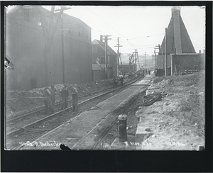
81.
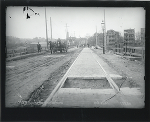
Mill Street, Dorchester, progress view
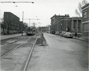
82.
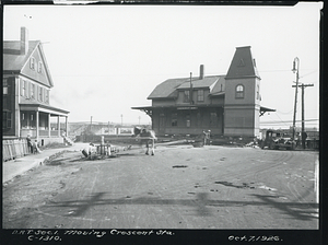
Moving Crescent Avenue Station
83.
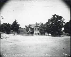
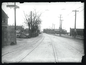
Northerly side of Bird Street, west of Baker Place
84.
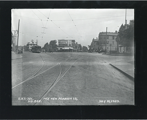
Northerly view Peabody Square
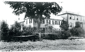
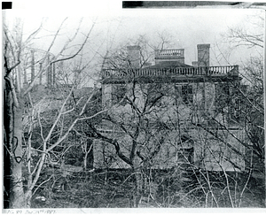
85.
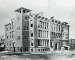
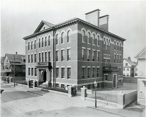
Phillips Brooks School, Perth Street, Dorchester
86.
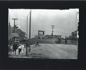
Police signal tower Savin Hill Avenue bridge
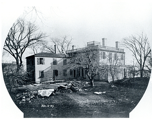
87.
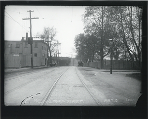
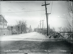
Preston Street track to Squantum
88.
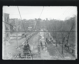
Preston Street, westerly progress view
89.
Rear of two houses on Union Street, Dorchester
90.
Rear view of the Corcoran House, Preston Street, Dorchester
91.
River Street, Dorchester
92.
Roger Clap School, Harvest Street, Dorchester
93.
Saint Kevin's Parish, Columbia Road
94.
Side view of Corcoran House, Preston Street, Dorchester
95.
South Street, Dorchester
96.
South Street, Dorchester, track completed
97.
South Street track to Squantum at Blanche Street and Victory Road
98.
Southeast corner of Boston Gas Company property, Commercial Point
99.
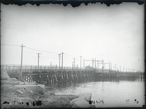
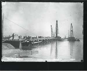
Squantum Bridge
100.
Squantum Bridge
« Previous
Next »
1
2
3
4
5
6
7
8
9
…
105
106
Limit your search
Subject
Dorchester (Boston, Mass.)
769
Local transit
579
Boston (Mass.)
550
Streetscapes (Urban design)
532
Local transit stations
253
Construction projects
203
South End (Boston, Mass.)
105
Boston Public Schools
100
more
Subject
»
Place
North and Central America
2,101
United States
2,101
Massachusetts
2,100
Suffolk (county)
2,095
Boston
2,094
Dorchester
646
South End
157
Downtown Crossing
136
more
Place
»
Format
Photographs
1,956
Documents
94
Letters/Correspondence
24
Audio recordings (nonmusical)
21
Newspapers
16
Maps/Atlases
13
Film/Video
5
Manuscripts
2
more
Format
»
Available to use
No known restrictions
11
Creative Commons license
2
Date
View distribution
Current results range from
1836
to
2018
Date range begin
Date range end
View larger »
Unknown
4
Collection
Public Works Department Photographs
1,358
Dorchester Rapid Transit System Photographs
392
School Buildings Photographs
79
Mayor Kevin White Records
77
Huntington Avenue Subway Photographs
50
Boston 200 Records
34
Traffic and Parking Photographs
33
Dorchester High School Collection
17
more
Collection
»
Institution
Boston City Archives
2,074
University of Massachusetts Boston, Joseph P. Healey Library
17
Boston Public Library
12
WGBH
2
New Bedford Free Public Library
1
Northeastern University Library
1
Special Collections and University Archives, University of Massachusetts Amherst Libraries
1
Transas City
1