Skip to search
Skip to main content
Skip to first result
Digital Commonwealth
Folders
Sign Up / Log In
Search for
Search
Search
Search
Basic
Advanced
Explore
Map
Collections
Institutions
Formats
For Educators
Primary Source Sets
Lesson Plans
Using Primary Sources
Searching Digital Commonwealth
For Institutions
Join Digital Commonwealth
Conferences, Trainings, & Events
How to Contribute Collections
Digitization Services
Board & Committees
Frequently Asked Questions
About
About Digital Commonwealth
News & Announcements
Copyright & Terms of Use
Harmful Content Statement
Partners
API
Contact Us
Search
Search Constraints
Start Over
Save Search
Your search:
More Like
commonwealth-oai:qn59qj17w
✖
Remove constraint More Like: commonwealth-oai:qn59qj17w
« Prev.
|
9,881
-
9,900
of
10,046
|
Next »
Sort
by relevance
relevance
title
date (asc)
date (desc)
recently added
Number of results to display per page
20
per page
per page
10
per page
20
per page
50
per page
100
per page
View results as:
List
list view
Maps
map view
Gallery
grid view
Search Results
9881.
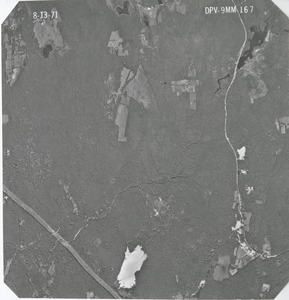
Worcester County: aerial photograph. dpv-9mm-167
9882.
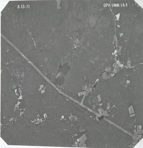
Worcester County: aerial photograph. dpv-9mm-168
9883.
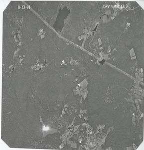
Worcester County: aerial photograph. dpv-9mm-169
9884.
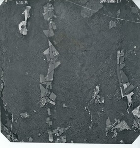
Worcester County: aerial photograph. dpv-9mm-17
9885.
Worcester County: aerial photograph. dpv-9mm-170
9886.
Worcester County: aerial photograph. dpv-9mm-171
9887.
Worcester County: aerial photograph. dpv-9mm-172
9888.
Worcester County: aerial photograph. dpv-9mm-173
9889.
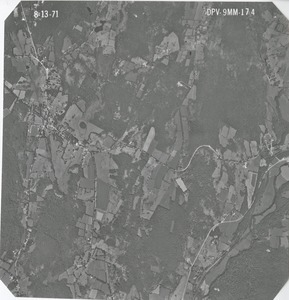
Worcester County: aerial photograph. dpv-9mm-174
9890.
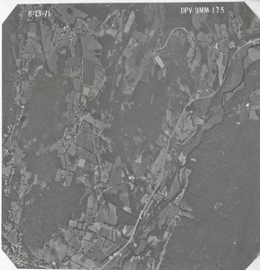
Worcester County: aerial photograph. dpv-9mm-175
9891.
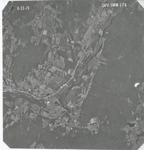
Worcester County: aerial photograph. dpv-9mm-176
9892.
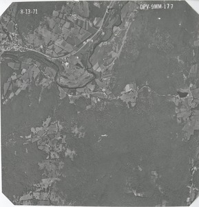
Worcester County: aerial photograph. dpv-9mm-177
9893.
Worcester County: aerial photograph. dpv-9mm-178
9894.
Worcester County: aerial photograph. dpv-9mm-179
9895.
Worcester County: aerial photograph. dpv-9mm-18
9896.
Worcester County: aerial photograph. dpv-9mm-180
9897.
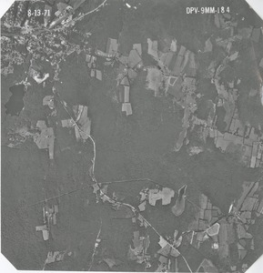
Worcester County: aerial photograph. dpv-9mm-181
9898.
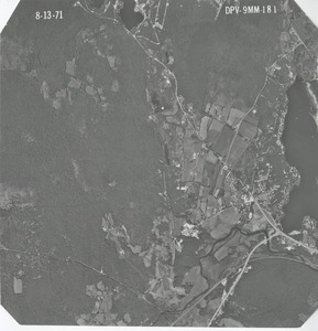
Worcester County: aerial photograph. dpv-9mm-182
9899.
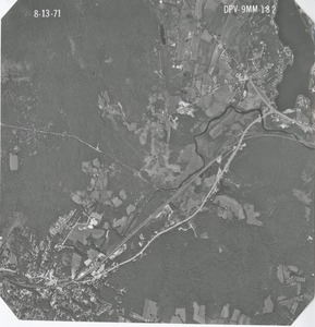
Worcester County: aerial photograph. dpv-9mm-183
9900.
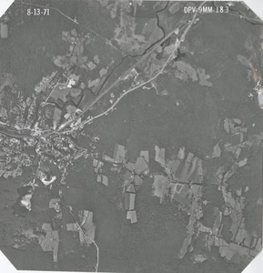
Worcester County: aerial photograph. dpv-9mm-184
« Previous
Next »
1
2
…
491
492
493
494
495
496
497
498
499
…
502
503
Limit your search
Subject
Land use--Massachusetts
10,046
Maps--Massachusetts
10,046
Place
Massachusetts
10,046
North and Central America
10,046
United States
10,046
Massachusetts--Worcester County
1,925
Massachusetts--Middlesex County
1,137
Massachusetts--Berkshire County
1,078
Massachusetts--Plymouth County
1,043
Massachusetts--Bristol County
855
more
Place
»
Format
Photographs
10,046
Prints
8,406
Date
View distribution
Current results range from
1951
to
1985
Date range begin
Date range end
View larger »
Collection
William P. MacConnell Aerial Photograph Collection, ca. 1950-2000
10,046
Institution
Special Collections and University Archives, University of Massachusetts Amherst Libraries
10,046