Skip to search
Skip to main content
Skip to first result
Digital Commonwealth
Folders
Sign Up / Log In
Search for
Search
Search
Search
Basic
Advanced
Explore
Map
Collections
Institutions
Formats
For Educators
Primary Source Sets
Lesson Plans
Using Primary Sources
Searching Digital Commonwealth
For Institutions
Join Digital Commonwealth
Conferences, Trainings, & Events
How to Contribute Collections
Digitization Services
Board & Committees
Frequently Asked Questions
About
About Digital Commonwealth
News & Announcements
Copyright & Terms of Use
Harmful Content Statement
Partners
API
Contact Us
Search
Search Constraints
Start Over
Save Search
Your search:
More Like
commonwealth-oai:qn59qm39b
✖
Remove constraint More Like: commonwealth-oai:qn59qm39b
« Prev.
|
9,841
-
9,860
of
10,046
|
Next »
Sort
by relevance
relevance
title
date (asc)
date (desc)
recently added
Number of results to display per page
20
per page
per page
10
per page
20
per page
50
per page
100
per page
View results as:
List
list view
Maps
map view
Gallery
grid view
Search Results
9841.
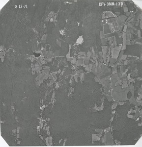
Worcester County: aerial photograph. dpv-9mm-130
9842.
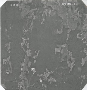
Worcester County: aerial photograph. dpv-9mm-131
9843.
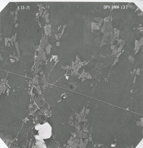
Worcester County: aerial photograph. dpv-9mm-132
9844.
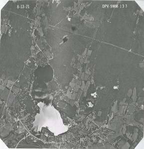
Worcester County: aerial photograph. dpv-9mm-133
9845.
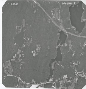
Worcester County: aerial photograph. dpv-9mm-134
9846.
Worcester County: aerial photograph. dpv-9mm-135
9847.
Worcester County: aerial photograph. dpv-9mm-136
9848.
Worcester County: aerial photograph. dpv-9mm-137
9849.
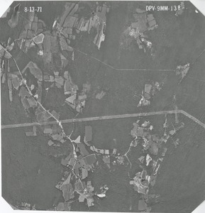
Worcester County: aerial photograph. dpv-9mm-138
9850.
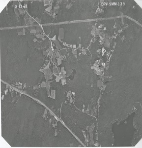
Worcester County: aerial photograph. dpv-9mm-139
9851.
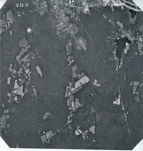
Worcester County: aerial photograph. dpv-9mm-14
9852.
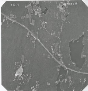
Worcester County: aerial photograph. dpv-9mm-140
9853.
Worcester County: aerial photograph. dpv-9mm-141
9854.
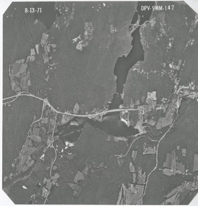
Worcester County: aerial photograph. dpv-9mm-142
9855.
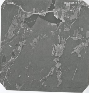
Worcester County: aerial photograph. dpv-9mm-143
9856.
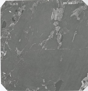
Worcester County: aerial photograph. dpv-9mm-144
9857.
Worcester County: aerial photograph. dpv-9mm-145
9858.
Worcester County: aerial photograph. dpv-9mm-146
9859.
Worcester County: aerial photograph. dpv-9mm-147
9860.
Worcester County: aerial photograph. dpv-9mm-148
« Previous
Next »
1
2
…
489
490
491
492
493
494
495
496
497
…
502
503
Limit your search
Subject
Land use--Massachusetts
10,046
Maps--Massachusetts
10,046
Place
Massachusetts
10,046
North and Central America
10,046
United States
10,046
Massachusetts--Worcester County
1,925
Massachusetts--Middlesex County
1,137
Massachusetts--Berkshire County
1,078
Massachusetts--Plymouth County
1,043
Massachusetts--Bristol County
855
more
Place
»
Format
Photographs
10,046
Prints
8,406
Date
View distribution
Current results range from
1951
to
1985
Date range begin
Date range end
View larger »
Collection
William P. MacConnell Aerial Photograph Collection, ca. 1950-2000
10,046
Institution
Special Collections and University Archives, University of Massachusetts Amherst Libraries
10,046