Search
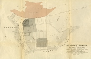
![[Plan of Boundary Lines in Roxbury and the City of Boston.]](https://bpldcassets.blob.core.windows.net/derivatives/metadata/commonwealth-oai:ws859n97k/image_thumbnail_300.jpg)


Limit your search
- North and Central America2,440
- United States2,438
- Massachusetts2,311
- Suffolk (county)2,202
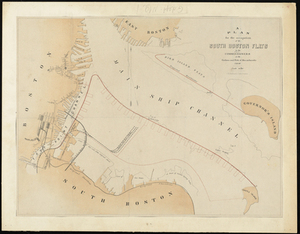
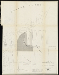
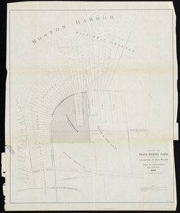
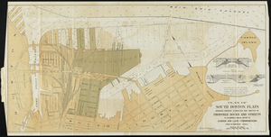
- Boston2,201
- Roxbury226
- South Boston119
- Dorchester116
- Norman B. Leventhal Map & Education Center Collection2,002
- Boston and New England Maps (Collection of Distinction)1,975
- Urban Maps (Collection of Distinction)1,889
- Historic Maps278
- American Archive of Public Broadcasting Collection177
- Boston Redevelopment Authority Collection120
- Oral Histories57
- Arlington Historical Society Collection32