Skip to search
Skip to main content
Skip to first result
Digital Commonwealth
Folders
Sign Up / Log In
Search for
Search
Search
Search
Basic
Advanced
Explore
Map
Collections
Institutions
Formats
For Educators
Primary Source Sets
Lesson Plans
Using Primary Sources
Searching Digital Commonwealth
For Institutions
Join Digital Commonwealth
Conferences, Trainings, & Events
How to Contribute Collections
Digitization Services
Board & Committees
Frequently Asked Questions
About
About Digital Commonwealth
News & Announcements
Copyright & Terms of Use
Harmful Content Statement
Partners
API
Contact Us
Search
Search Constraints
Start Over
Save Search
Your search:
More Like
commonwealth-oai:z029pk524
✖
Remove constraint More Like: commonwealth-oai:z029pk524
« Prev.
|
141
-
160
of
2,797
|
Next »
Sort
by relevance
relevance
title
date (asc)
date (desc)
recently added
Number of results to display per page
20
per page
per page
10
per page
20
per page
50
per page
100
per page
View results as:
List
list view
Maps
map view
Gallery
grid view
Search Results
141.
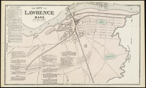
The City of Lawrence, Mass. North Side
142.
The City of Lawrence Mass. South Side
143.
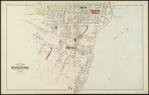
City of Newburyport
144.
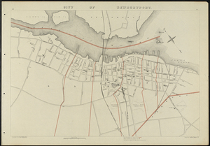
City of Newburyport
145.
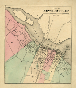
City of Newburyport
146.
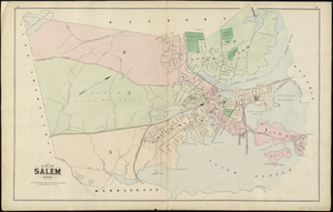
City of Salem Mass.
147.
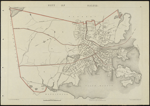
City of Salem Mass.
148.
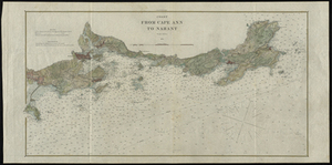
Coast from Cape Ann to Nahant
149.
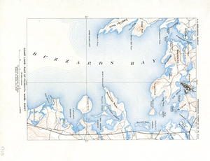
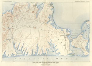
Coast Lines: Part of Falmouth (Mass.) Sheet
150.
Coast Lines: Part of Martha's Vineyard (Mass.) Sheet
151.
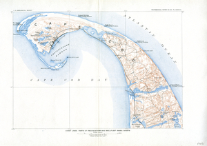
Coast Lines: Part of Provincetown and Wellfleet (Mass.) Sheets
152.
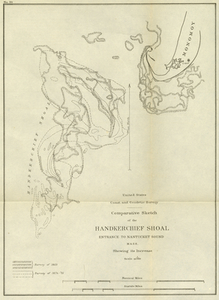
Comparative Sketch of the Handkerchief Shoal Entrance to Nantucket Sound, Mass. Showing its Increase
153.
County Map of the States of New York, New Hampshire, Vermont, Massachusetts, Rhode Island, and Connecticut.
154.
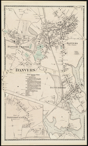
Danvers
155.
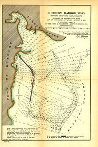
Duxbury Harbor, Mass. Showing Proposed Improvements
156.
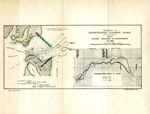
Entrance of Newburyport Harbor, Mass.: Plan Showing Condition of Improvement
157.
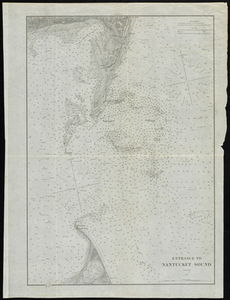
Entrance to Nantucket Sound
158.
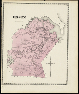
Essex
159.
Essex
160.
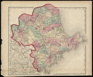
Essex County
« Previous
Next »
1
2
…
4
5
6
7
8
9
10
11
12
…
139
140
Limit your search
Subject
Boston (Mass.)--Maps
2,188
Real property--Massachusetts--Boston--Maps
1,491
Landowners--Massachusetts--Boston--Maps
1,406
Massachusetts
482
Boston
229
Roxbury (Boston, Mass.)--Maps
208
Pbs Newshour
162
Washington
156
more
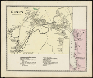
Subject
»
Place
North and Central America
2,440
United States
2,438
Massachusetts
2,311
Suffolk (county)
2,202
Boston
2,201
Roxbury
226
South Boston
119
Dorchester
116
more
Place
»
Format
Maps/Atlases
2,419
Film/Video
236
Photographs
62
Documents
32
Objects/Artifacts
21
Albums/Scrapbooks
10
Manuscripts
9
Letters/Correspondence
5
more
Format
»
Available to use
No known restrictions
2,074
Creative Commons license
46
Date
View distribution
Current results range from
1631
to
2023
Date range begin
Date range end
View larger »
Unknown
30
Collection
Norman B. Leventhal Map & Education Center Collection
2,002
Boston and New England Maps (Collection of Distinction)
1,975
Urban Maps (Collection of Distinction)
1,889
Historic Maps
278
American Archive of Public Broadcasting Collection
177
Boston Redevelopment Authority Collection
120
Oral Histories
57
Arlington Historical Society Collection
32
more
Collection
»
Institution
Boston Public Library
2,085
Salem State University Archives and Special Collections
278
Internet Archive
177
Yiddish Book Center
57
Arlington Historical Society
46
Williams College
41
State Library of Massachusetts
25
Private Collection
20
more
Institution
»
We'd love your feedback!
×
Would you be interested in taking a short survey about Digital Commonwealth?