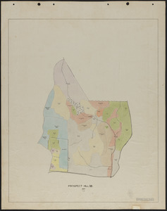
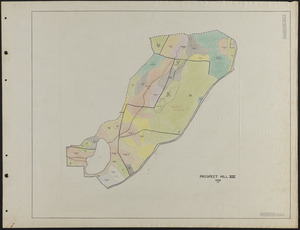
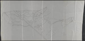
341. Prospect Hill VII - Forest Inventory Creator: Goodell, B. C. Format: Maps/Atlases Collection: The Harvard Forest Map Collection Date: October 25, 1936 Institution: Harvard Forest Archives
342. Prospect Hill VII 1927 Stand Map Creator: Hosley, N. W. (Neil Wetmore), 1901- Format: Maps/Atlases Collection: The Harvard Forest Map Collection Date: 1927 Institution: Harvard Forest Archives
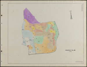
343. Prospect Hill VII 1929 Stand Map Creator: Salls, M. R. Format: Maps/Atlases Collection: The Harvard Forest Map Collection Date: 1929 Institution: Harvard Forest Archives
344. Prospect Hill VII 1929 Stand Map Creator: Salls, M. R. Format: Maps/Atlases Collection: The Harvard Forest Map Collection Date: 1929 Institution: Harvard Forest Archives
345. Prospect Hill VII 1931 Stand Map Creator: Borg, R. M. Format: Maps/Atlases Collection: The Harvard Forest Map Collection Date: 1931 Institution: Harvard Forest Archives
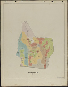
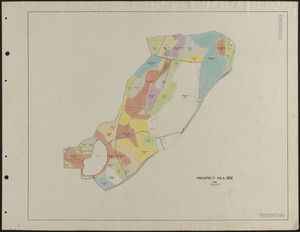
346. Prospect Hill VII 1937 Stand Map Creator: Hosley, N. W. (Neil Wetmore), 1901- Format: Maps/Atlases Collection: The Harvard Forest Map Collection Date: 1937 Institution: Harvard Forest Archives
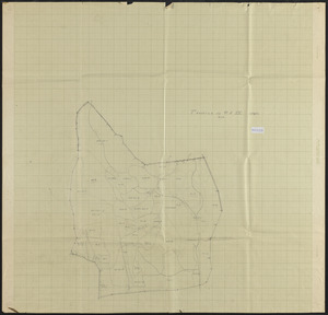
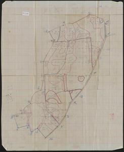
347. Prospect Hill VII Stand Maps 1924 and 1925-27 update Creator: Lockard, C. R., 1900-; Hosley, N. W. (Neil Wetmore), 1901- Format: Maps/Atlases Collection: The Harvard Forest Map Collection Date: 1924–1927 Institution: Harvard Forest Archives
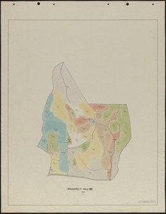
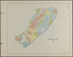
348. Prospect Hill VIII - Forest Inventory Creator: Raymond, M. E. Format: Maps/Atlases Collection: The Harvard Forest Map Collection Date: July 24, 1937 Institution: Harvard Forest Archives
349. Prospect Hill VIII 1929 Stand Map Creator: Salls, M. R. Format: Maps/Atlases Collection: The Harvard Forest Map Collection Date: 1929 Institution: Harvard Forest Archives
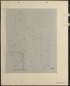
350. Prospect Hill VIII 1931 Stand Map - shows location of 1932 imp. Cuts Creator: Borg, R. M. Format: Maps/Atlases Collection: The Harvard Forest Map Collection Date: 1932 Institution: Harvard Forest Archives
351. Prospect Hill VIII 1935 Stand Map Format: Maps/Atlases Collection: The Harvard Forest Map Collection Date: 1935 Institution: Harvard Forest Archives
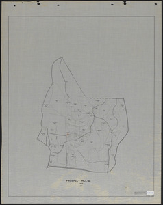
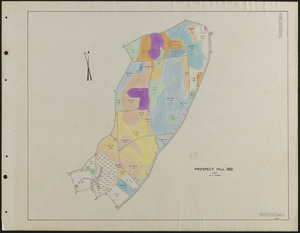
352. Prospect Hill VIII 1937 Stand Map Creator: Rowlands, W. Format: Maps/Atlases Collection: The Harvard Forest Map Collection Date: 1937 Institution: Harvard Forest Archives
353. Prospect Hill VIII Stand Map 1925 and 1926-28 update Creator: Albright, W. A.; Hosley, N. W. (Neil Wetmore), 1901- Format: Maps/Atlases Collection: The Harvard Forest Map Collection Date: 1925–1928 Institution: Harvard Forest Archives
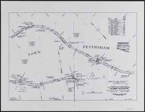
354. Quabbin Reservoir Plan 2, No. S-32 Creator: Winsor, O. E. Format: Maps/Atlases Collection: The Harvard Forest Map Collection Date: May 20, 1936 Institution: Harvard Forest Archives
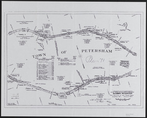
355. Quabbin Reservoir Plan 71 NO. S-31 Creator: Winsor, O. E. Format: Maps/Atlases Collection: The Harvard Forest Map Collection Date: May 20, 1936 Institution: Harvard Forest Archives
356. Resurvey of experimental reproduction cuttings, Tom Swamp IX Creator: Norberg, Edward Format: Maps/Atlases Collection: The Harvard Forest Map Collection Date: June 1964 Institution: Harvard Forest Archives
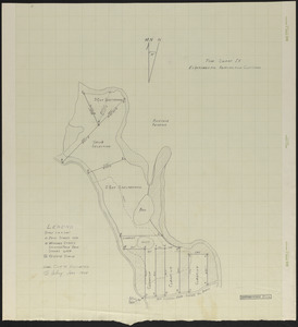
357. Resurvey of Matthews Plantation, 1974 Format: Maps/Atlases Collection: The Harvard Forest Map Collection Date: 1974 Institution: Harvard Forest Archives
358. Resurvey of Matthews Plantation, 1974 Format: Maps/Atlases Collection: The Harvard Forest Map Collection Date: 1974 Institution: Harvard Forest Archives
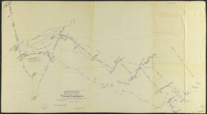
359. Riceville Pond Flowage Investigation Creator: Slack, T. B.; Maisner, W. P. Format: Maps/Atlases Collection: The Harvard Forest Map Collection Date: September 29, 1961 Institution: Harvard Forest Archives
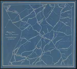
360. Road map of the town of Petersham Creator: Cline, A. C. Format: Maps/Atlases Collection: The Harvard Forest Map Collection Date: 1933 Institution: Harvard Forest Archives