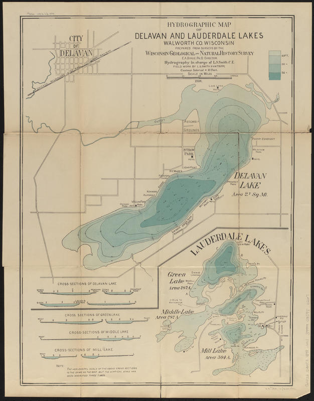
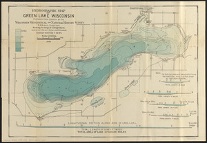
prepared from surveys by the Wisconsin Geological and Natural History Survey, E.A. Birge, Ph. D. Director ; hydrography in charge of L.S. Smith, C.E. ; field work by L.S. Smith & H.M. Trippe
Depth shown by hypsometric tints, bathymetric isolines and soundings.
Contour interval = 10 ft.
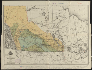
At head of cover title: no. 6.
Explanation of map on 2nd page of cover.
Shows roads, parks, hotels, drainage, etc.
Includes 9 cross sections.
Imprint from cover.