Skip to search
Skip to main content
Digital Commonwealth
Sign Up / Log In
Search for
Search
Search
Search
Basic
Advanced
Explore
Map
Collections
Institutions
Formats
For Educators
Primary Source Sets
Lesson Plans
Using Primary Sources
Searching Digital Commonwealth
For Institutions
Join Digital Commonwealth
Conferences, Trainings, & Events
How to Contribute Collections
Digitization Services
Board & Committees
Frequently Asked Questions
About
About Digital Commonwealth
News & Announcements
Copyright & Terms of Use
Harmful Content Statement
Partners
API
Contact Us
Boston Public Library
Norman B. Leventhal Map & Education Center Collection
/
Maritime Charts and Atlases (Collection of Distinction)
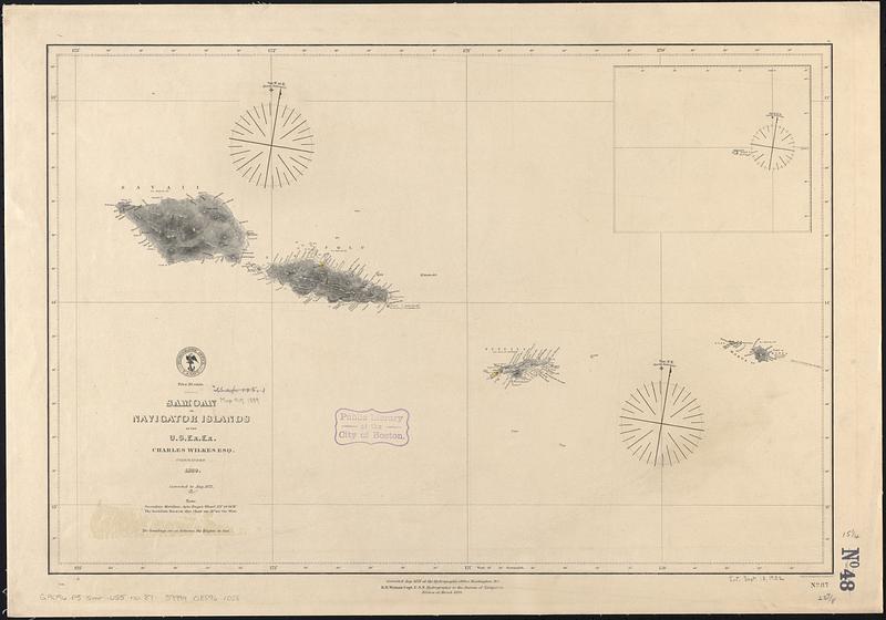
Samoan or Navigator Islands
Samoan or Navigator Islands
×
Item Information
Title:
Samoan or Navigator Islands
Issuing body:
United States. Hydrographic Office
Cartographer:
Wilkes, Charles, 1798-1877
Engraver:
Sherman & Smith
Surveyor:
United States Exploring Expedition (1838-1842)
Name on Item:
by the U.S. Ex. Ex., Charles Wilkes esq. commander ; eng. by Sherman & Smith
Date:
1889
Format:
Maps/Atlases
Genre:
Nautical charts
Location:
Boston Public Library
Norman B. Leventhal Map & Education Center
Collection (local):
Norman B. Leventhal Map & Education Center Collection
Subjects:
Samoa--Maps
American Samoa--Maps
Samoan Islands--Maps
Nautical charts--Samoan Islands
Places:
American Samoa
(territory)
Samoa
Extent:
1 map ; 39 x 59 cm
Permalink:
https://ark.digitalcommonwealth.org/ark:/50959/1g05ht77v
Terms of Use:
No known copyright restrictions.
No known restrictions on use.
Publisher:
Washington, D.C. : Hydrographic Office
Edition:
Edition of March 1889
Scale:
Scale approximately 1:720,000
Language:
English
Notes:
Relief shown by hachures and spot heights. Depths shown by soundings and pictorially.
Inset: Rose I.
"Corrected to Aug. 1871."
Identifier:
06_01_017578
Call #:
G9096.P5 svar .U55 no. 87
Barcode:
39999085961058
show more...
View MODS XML
More Like This
Samoan or Navigator Islands
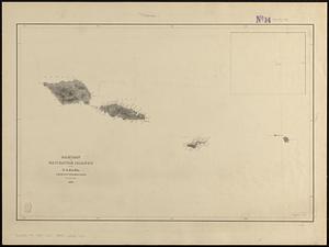
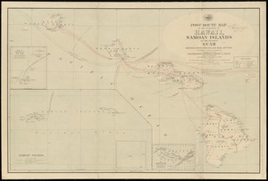
Post route map of the territory of Hawaii, Samoan Islands and the ...
Spezialkarte der Samoa-Inseln
The 100th anniversary map of Abraham Lincoln's visit to ...
Find More Like This >>
Tools
Share
Facebook
Pinterest
X
Reddit
Tumblr
Email
Copy link
Add to Folder
Questions/Comments
Cite This Item
IIIF Manifest
Downloads
Primary (full resolution, uncompressed)
(TIF, 121 MB)
Large (full resolution)
(JPEG, 10.1 MB)
Medium
(JPEG, 62.1 KB)