Skip to search
Skip to main content
Digital Commonwealth
Sign Up / Log In
Search for
Search
Search
Search
Basic
Advanced
Explore
Map
Collections
Institutions
Formats
For Educators
Primary Source Sets
Lesson Plans
Using Primary Sources
Searching Digital Commonwealth
For Institutions
Join Digital Commonwealth
Conferences, Trainings, & Events
How to Contribute Collections
Digitization Services
Board & Committees
Frequently Asked Questions
About
About Digital Commonwealth
News & Announcements
Copyright & Terms of Use
Harmful Content Statement
Partners
API
Contact Us
Boston Public Library
Norman B. Leventhal Map & Education Center Collection
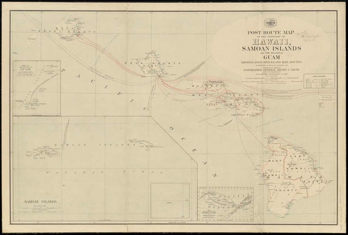
Post route map of the territory of Hawaii, Samoan Islands and the island of Guam showing post offices in operation on the 1st of December, 1903
Post route map of the territory of Hawaii, Samoan Islands and the island of Guam showing post offices in operation on the 1st of December, 1903
×
Item Information
Title:
Post route map of the territory of Hawaii, Samoan Islands and the island of Guam showing post offices in operation on the 1st of December, 1903
Creator:
United States. Post Office Dept
Name on Item:
published by order of Postmaster General Henry C. Payne under the direction of A. von Haake, topographer P.O. Dept.
Date:
1903
Format:
Maps/Atlases
Location:
Boston Public Library
Norman B. Leventhal Map & Education Center
Collection (local):
Norman B. Leventhal Map & Education Center Collection
Subjects:
Counties--Hawaii--Maps
Postal service--Guam--Maps
Postal service--Hawaii--Maps
Postal service--Samoan Islands--Maps
Railroads--Hawaii--Maps
Guam--Maps
Hawaii--Maps
Samoan Islands--Maps
Places:
Hawaii
Guam
(territory)
Samoa Islands
(area)
Extent:
1 map : col. ; 68 x 105 cm.
Permalink:
https://ark.digitalcommonwealth.org/ark:/50959/cj82kn241
Terms of Use:
No known copyright restrictions.
No known restrictions on use.
Publisher:
[Washington] : Post Office Dept.
Scale:
Scale [ca. 1:576,000]
Language:
English
Notes:
Also shows railroads, counties, and submarine cables.
Relief shown by hachures.
Insets: Map of the island of Guam -- Samoan Islands -- Map showing the extended group of the Hawaiian Islands and Midway Island P. O.
Includes index to counties.
Identifier:
06_01_009128
Call #:
G4381.P8 1903 .U55x
Barcode:
39999065659227
show more...
View MODS XML
More Like This
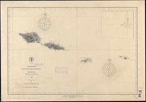
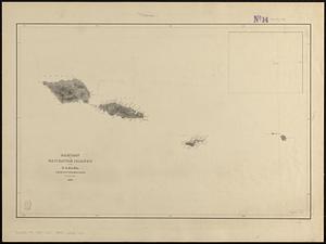
Samoan or Navigator Islands
Samoan or Navigator Islands
Spezialkarte der Samoa-Inseln
Hawaiian or Sandwich Islands
Find More Like This >>
Tools
Share
Facebook
Pinterest
X
Reddit
Tumblr
Email
Copy link
Add to Folder
Questions/Comments
Cite This Item
IIIF Manifest
Downloads
Primary (full resolution, uncompressed)
(TIF, 162 MB)
Large (full resolution)
(JPEG, 13.6 MB)
Medium
(JPEG, 224 KB)
GeoTIFF (georeferenced)
(TIF, 166 MB)