Skip to search
Skip to main content
Digital Commonwealth
Sign Up / Log In
Search for
Search
Search
Search
Basic
Advanced
Explore
Map
Collections
Institutions
Formats
For Educators
Primary Source Sets
Lesson Plans
Using Primary Sources
Searching Digital Commonwealth
For Institutions
Join Digital Commonwealth
Conferences, Trainings, & Events
How to Contribute Collections
Digitization Services
Board & Committees
Frequently Asked Questions
About
About Digital Commonwealth
News & Announcements
Copyright & Terms of Use
Harmful Content Statement
Partners
API
Contact Us
Boston Public Library
Norman B. Leventhal Map & Education Center Collection
North Carolina & South Carolina
North Carolina & South Carolina
×
Item Information
Title:
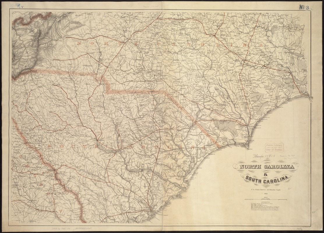
North Carolina & South Carolina
Creator:
Lindenkohl, A.
Name on Item:
drawn by A. Lindenkohl ; Chas. G. Krebs, lith.
Date:
1865
Format:
Maps/Atlases
Location:
Boston Public Library
Norman B. Leventhal Map & Education Center
Collection (local):
Norman B. Leventhal Map & Education Center Collection
Subjects:
Coasts--North Carolina
Coasts--South Carolina
North Carolina--Maps
South Carolina--Maps
Places:
North Carolina
South Carolina
Extent:
1 map : col. ; 64 x 90 cm.
Permalink:
https://ark.digitalcommonwealth.org/ark:/50959/kk91fs66x
Terms of Use:
No known copyright restrictions.
No known restrictions on use.
Publisher:
[S.l.] : U.S. Coast Survey
Scale:
Scale [1:633,600]. 1 inch = 10 miles
Language:
English
Notes:
General map.
"Authorities" used in making the map are listed below the title.
State names, boundaries, and railroads are overprinted in red.
Description derived from published bibliography.
Identifier:
06_01_007454
Call #:
G3912.C6 1865 .L56
Barcode:
39999059031565
show more...
View MODS XML
More Like This
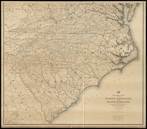
J.H. Colton's topographical map of North and South Carolina : a ...
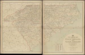
Post route map of the states of North Carolina and South Carolina ...
Post route map of the states of North Carolina and South Carolina ...
Post route map of the states of North Carolina and South Carolina ...
Find More Like This >>
Tools
Share
Facebook
Pinterest
X
Reddit
Tumblr
Email
Copy link
Add to Folder
Questions/Comments
Cite This Item
IIIF Manifest
Downloads
Primary (full resolution, uncompressed)
(TIF, 218 MB)
Large (full resolution)
(JPEG, 18.3 MB)
Medium
(JPEG, 376 KB)
GeoTIFF (georeferenced)
(TIF, 263 MB)