Skip to search
Skip to main content
Skip to first result
Digital Commonwealth
Folders
Sign Up / Log In
Search for
Search
Search
Search
Basic
Advanced
Explore
Map
Collections
Institutions
Formats
For Educators
Primary Source Sets
Lesson Plans
Using Primary Sources
Searching Digital Commonwealth
For Institutions
Join Digital Commonwealth
Conferences, Trainings, & Events
How to Contribute Collections
Digitization Services
Board & Committees
Frequently Asked Questions
About
About Digital Commonwealth
News & Announcements
Copyright & Terms of Use
Harmful Content Statement
Partners
API
Contact Us
Search
Search Constraints
Start Over
Save Search
Your search:
More Like
commonwealth:3t94b2592
✖
Remove constraint More Like: commonwealth:3t94b2592
« Prev.
|
101
-
109
of
109
| Next »
Sort
by relevance
relevance
title
date (asc)
date (desc)
recently added
Number of results to display per page
20
per page
per page
10
per page
20
per page
50
per page
100
per page
View results as:
List
list view
Maps
map view
Gallery
grid view
Search Results
101.
Twenty years of change on the Massachusetts coastline : maps and statistics, 1951-1971
102.
The United States of America circa 1900
103.
U.S. Coast Survey classification and rules for the miscellaneous lettering of names &c. on the map, not connected with title or...
104.
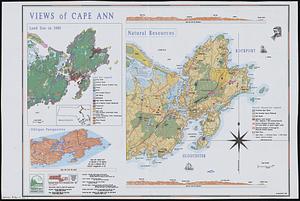
Views of Cape Ann
105.
VOC contamination and public water supplies in the commonwealth of Massachusetts
106.
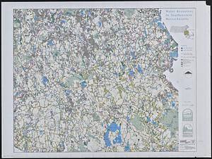
Water resources in southeastern Massachusetts
107.
Whale chart
108.
The Wilderness
109.
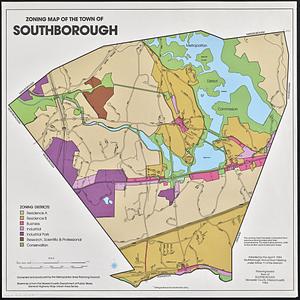
Zoning map of the town of Southborough
« Previous
Next »
1
2
3
4
5
6
Limit your search
Subject
Massachusetts--Maps
17
Boston (Mass.)--Historical geography--Maps
13
United States--History--Civil War, 1861-1865--Maps
10
Land use--Massachusetts--Maps
7
Virginia--History--Civil War, 1861-1865--Maps
7
Connecticut--Maps
5
Watersheds--Massachusetts--Maps
5
Boston Metropolitan Area (Mass.)--Maps
4
more
Subject
»
Place
North and Central America
94
United States
93
Massachusetts
64
Boston
20
Suffolk (county)
20
Virginia
13
Connecticut
5
Essex (county)
5
more
Place
»
Format
Maps/Atlases
106
Ephemera
2
Documents
1
Posters
1
Available to use
No known restrictions
109
Date
View distribution
Current results range from
1867
to
2021
Date range begin
Date range end
View larger »
Collection
Norman B. Leventhal Map & Education Center Collection
109
David Judkins Weaver Papers
96
Boston and New England Maps (Collection of Distinction)
73
Urban Maps (Collection of Distinction)
20
Institution
Boston Public Library
109