Skip to search
Skip to main content
Skip to first result
Digital Commonwealth
Folders
Sign Up / Log In
Search for
Search
Search
Search
Basic
Advanced
Explore
Map
Collections
Institutions
Formats
For Educators
Primary Source Sets
Lesson Plans
Using Primary Sources
Searching Digital Commonwealth
For Institutions
Join Digital Commonwealth
Conferences, Trainings, & Events
How to Contribute Collections
Digitization Services
Board & Committees
Frequently Asked Questions
About
About Digital Commonwealth
News & Announcements
Copyright & Terms of Use
Harmful Content Statement
Partners
API
Contact Us
Search
Search Constraints
Start Over
Save Search
Your search:
More Like
commonwealth:pv63g5147
✖
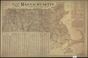
Remove constraint More Like: commonwealth:pv63g5147
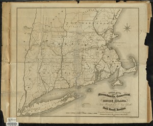
« Prev.
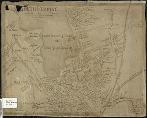
|
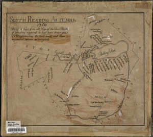
41
-
60
of
72
|
Next »
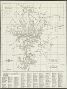
Sort
by relevance
relevance
title
date (asc)
date (desc)
recently added
Number of results to display per page
20
per page
per page
10
per page
20
per page
50
per page
100
per page
View results as:
List
list view
Maps
map view
Gallery
grid view
Search Results
41.
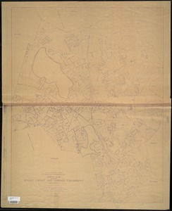
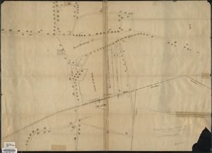
Plan or map showing the laying out of Rail Road Street
42.
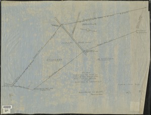
Plan showing the part of Stoneham which the petitioners desire to have annexed to Wakefield
43.
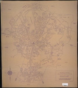
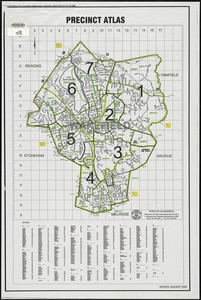
Precinct atlas, Town of Wakefield
44.
Reading Village, east side [Massachusetts] : showing streets, buildings, property boundaries and owners, railroad lines, and...
45.
Scarborough's topographic map of Massachusetts : showing railroads, electric railways, steamboat lines, highways, post offices,...
46.
Sketch of the states of Massachusetts, Connecticut, and Rhode Island, and parts of New Hampshire & New York exhibiting the...
47.
South Reading
48.
South Reading as it was : being a copy of an old map of the First Parish of Reading, supposed to have been drawn about the year...
49.
[South Reading Common area] : copied from an old plan formerly in the possession of Burrage Yale
50.
Stoneham, Massachusetts
51.
Town of Reading [Massachusetts] : showing streets, buildings, property boundaries and owners, railroad lines, and cemeteries
52.
Town of Wakefield Mass. stormwater drainage report : general plan showing street layout and surface topography
53.
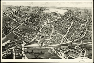
View of Wakefield, Mass., 1882
54.
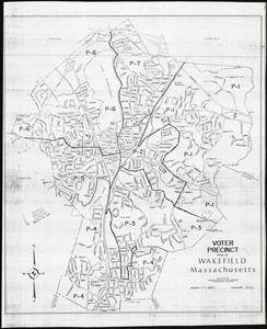
Voter precinct map of Wakefield, Massachusetts
55.
Wakefield, Massachusetts
56.
Wakefield, Massachusetts
57.
Wakefield, Massachusetts
58.
Wakefield, Massachusetts
59.
Wakefield, Massachusetts
60.
Wakefield, Massachusetts
« Previous
Next »
1
2
3
4
Limit your search
Subject
Zoning
14
Community development, Urban
5
Freedom House (Roxbury, Boston, Mass.)
4
Railroads
4
Housing
3
Urban renewal
3
Election districts
2
Boston and Maine Railroad
1
more
Subject
»
Place
North and Central America
72
United States
70
Middlesex (county)
62
Wakefield
49
Reading
9
North Reading
8
Massachusetts
7
Boston
6
more
Place
»
Format
Maps/Atlases
67
Documents
5
Available to use
No known restrictions
67
Date
View distribution
Current results range from
1647
to
2000
Date range begin
Date range end
View larger »
Collection
Lucius Beebe Memorial Library Historic Maps
67
Freedom House, Inc. Records
5
Institution
Lucius Beebe Memorial Library
67
Northeastern University Library
5
![Reading Village, east side [Massachusetts]](https://bpldcassets.blob.core.windows.net/derivatives/images/commonwealth:pv63g493p/image_thumbnail_300.jpg)
![[South Reading Common area]](https://bpldcassets.blob.core.windows.net/derivatives/images/commonwealth:c534g422v/image_thumbnail_300.jpg)
![Town of Reading [Massachusetts]](https://bpldcassets.blob.core.windows.net/derivatives/images/commonwealth:pv63g499b/image_thumbnail_300.jpg)