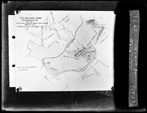
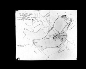
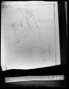
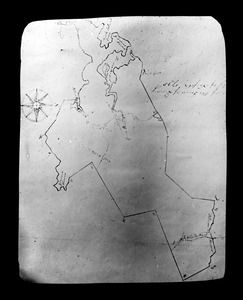
1. Division of Wilsons Farm 1687 Creator: Parker, Warren S. Format: Photographs Collection: Parker Collection Date: [ca. 1870–1930] Institution: Thomas Crane Public Library
2. Division of Wilsons farm 1687 Creator: Parker, Warren S. Format: Photographs Collection: Parker Collection Date: [ca. 1870–1930] Institution: Thomas Crane Public Library
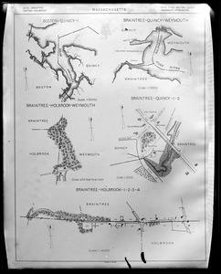
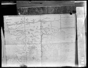
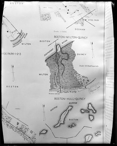
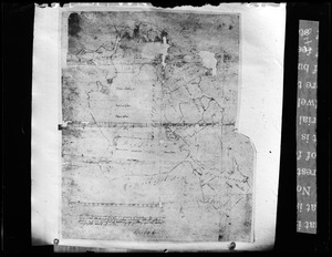
3. Five maps of areas in Massachusetts Creator: Parker, Warren S. Format: Photographs Collection: Parker Collection Date: [ca. 1870–1930] Institution: Thomas Crane Public Library
4. Hales Map of Quincy Creator: Parker, Warren S. Format: Photographs Collection: Parker Collection Date: 1833 Institution: Thomas Crane Public Library
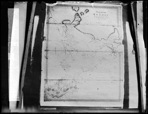
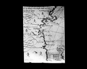
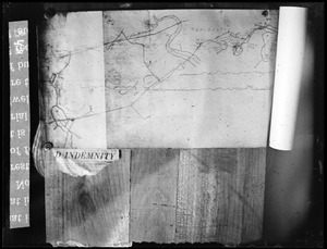
5. John Smith map of New England 1614 Creator: Parker, Warren S. Format: Photographs Collection: Parker Collection Date: [ca. 1870–1930] Institution: Thomas Crane Public Library
6. Map of New England Creator: Parker, Warren S. Format: Photographs Collection: Parker Collection Date: [ca. 1870–1930] Institution: Thomas Crane Public Library
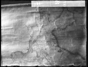
7. Map of Quincy 1795 Creator: Parker, Warren S. Format: Photographs Collection: Parker Collection Date: 1795 Institution: Thomas Crane Public Library
8. Map of Quincy 1795 Creator: Parker, Warren S. Format: Photographs Collection: Parker Collection Date: [ca. 1870–1930] Institution: Thomas Crane Public Library
9. Map of Quincy 1795 Creator: Parker, Warren S. Format: Photographs Collection: Parker Collection Date: [ca. 1870–1930] Institution: Thomas Crane Public Library
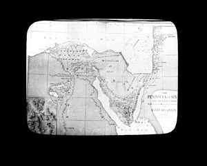
10. Map of the Holy land and Mount Sinai Creator: Parker, Warren S. Format: Photographs Collection: Parker Collection Date: [ca. 1870–1930] Institution: Thomas Crane Public Library
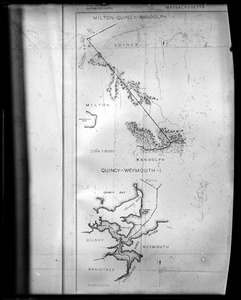
11. Maps of areas in Massachusetts Creator: Parker, Warren S. Format: Photographs Collection: Parker Collection Date: [ca. 1870–1930] Institution: Thomas Crane Public Library
12. Maps of areas in Massachusetts Creator: Parker, Warren S. Format: Photographs Collection: Parker Collection Date: [ca. 1870–1930] Institution: Thomas Crane Public Library
13. Neponset Turnpike Creator: Parker, Warren S. Format: Photographs Collection: Parker Collection Date: [ca. 1870–1930] Institution: Thomas Crane Public Library
14. Newbury Farm map Creator: Parker, Warren S. Format: Photographs Collection: Parker Collection Date: [ca. 1870–1930] Institution: Thomas Crane Public Library
15. North Quincy Creator: Parker, Warren S. Format: Photographs Collection: Parker Collection Date: 1857 Institution: Thomas Crane Public Library
16. North Quincy Creator: Parker, Warren S. Format: Photographs Collection: Parker Collection Date: [ca. 1870–1930] Institution: Thomas Crane Public Library
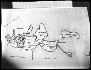
17. Plan annexations to Quincy from Dorchester Creator: Parker, Warren S. Format: Photographs Collection: Parker Collection Date: [ca. 1870–1930] Institution: Thomas Crane Public Library
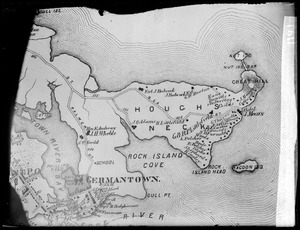
18. Plan Houghs Neck and Germantown Creator: Parker, Warren S. Format: Photographs Collection: Parker Collection Date: 1876 Institution: Thomas Crane Public Library
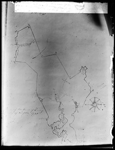
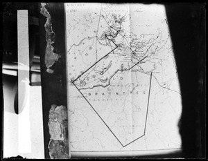
19. Plan Mt. Wollaston or Old Braintree ca. 1640 Creator: Parker, Warren S. Format: Photographs Collection: Parker Collection Date: [ca. 1870–1930] Institution: Thomas Crane Public Library
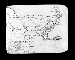
20. Plan of Houghs Neck and Germantown Creator: Parker, Warren S. Format: Photographs Collection: Parker Collection Date: 1876 Institution: Thomas Crane Public Library