Skip to search
Skip to main content
Skip to first result
Digital Commonwealth
Folders
Sign Up / Log In
Search for
Search
Search
Search
Basic
Advanced
Explore
Map
Collections
Institutions
Formats
For Educators
Primary Source Sets
Lesson Plans
Using Primary Sources
Searching Digital Commonwealth
For Institutions
Join Digital Commonwealth
Conferences, Trainings, & Events
How to Contribute Collections
Digitization Services
Board & Committees
Frequently Asked Questions
About
About Digital Commonwealth
News & Announcements
Copyright & Terms of Use
Harmful Content Statement
Partners
API
Contact Us
Search
Search Constraints
Start Over
Save Search
Your search:
More Like
commonwealth:z603vh163
✖
Remove constraint More Like: commonwealth:z603vh163
« Prev.
|
21
-
40
of
186
|
Next »
Sort
by relevance
relevance
title
date (asc)
date (desc)
recently added
Number of results to display per page
20
per page
per page
10
per page
20
per page
50
per page
100
per page
View results as:
List
list view
Maps
map view
Gallery
grid view
Search Results
21.
Delaware and Maryland
22.
An historical and literary map of the Old Line State of Maryland : showing forth divers curious and notable facts relating to...
23.
Index chart of natural oyster bars, crab bottoms, clam bars and triangulation stations of Maryland surveyed by Maryland Shell...
24.
Manuscript maps of U.S. states
25.
Manuscript maps of U.S. states, possibly drawn by a schoolchild
26.
Map of the country embracing the several routes examined with a view to a national road from Washington to Lake Ontario
27.
Maryland
28.
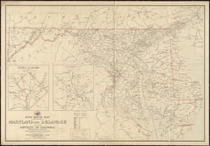
Post route map of the states of Maryland and Delaware and of the District of Columbia showing post offices with the...
29.
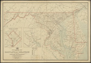
Post route map of the states of Maryland and Delaware and of the District of Columbia showing post offices with the...
30.
Post route map of the states of Pennsylvania, New Jersey, Delaware, and Maryland and of the District of Columbia with adjacent...
31.
The state of Maryland, from the best authorities
32.
State of West Virginia and part of Maryland : coal fields and producing districts
33.
Bacon's Map of the seat of war in Virginia : showing minutely the interesting localities in the vicinity of Richmond
34.
Coast of North Carolina & Virginia
35.
Eastern Virginia from Fredericksburg to Richmond
36.
Fort Monroe and vicinity showing entrance to Chesapeake Bay, Norfolk, Portsmouth, Gosport Navy Yard &c
37.
The Keystone group : a new railroad, post-office, township and district map of Pennsylvania, New Jersey, Delaware, Maryland,...
38.
Lloyd's official map of the state of Virginia from actual surveys by order of the Executive, 1828 & 1859
39.
Map of n. eastern Virginia and vicinity of Washington
40.
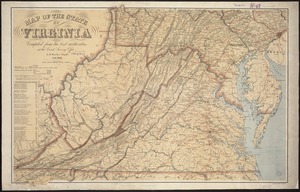
Map of the State of Virginia
« Previous
Next »
1
2
3
4
5
6
…
9
10
Limit your search
Subject
Virginia--Maps
40
Maryland--Maps
28
United States--Maps
20
North America--Maps
17
West Indies--Maps
17
Canada--Maps
14
Delaware--Maps
14
West Virginia--Maps
14
more
Subject
»
Place
North and Central America
150
United States
95
Virginia
39
Maryland
26
Canada
22
North America
17
West Indies
17
West Virginia
14
more
Place
»
Format
Maps/Atlases
186
Manuscripts
12
Available to use
No known restrictions
47
Creative Commons license
1
Date
View distribution
Current results range from
1750
to
1931
Date range begin
Date range end
View larger »
Collection
American Revolutionary War-Era Maps (Collection of Distinction)
139
American Antiquarian Society Collection
138
Norman B. Leventhal Map & Education Center Collection
47
Boston and New England Maps (Collection of Distinction)
1
Maritime Charts and Atlases (Collection of Distinction)
1
Other
1
Institution
American Antiquarian Society
138
Boston Public Library
47
State Library of Massachusetts
1