Skip to search
Skip to main content
Skip to first result
Digital Commonwealth
Folders
Sign Up / Log In
Search for
Search
Search
Search
Basic
Advanced
Explore
Map
Collections
Institutions
Formats
For Educators
Primary Source Sets
Lesson Plans
Using Primary Sources
Searching Digital Commonwealth
For Institutions
Join Digital Commonwealth
Conferences, Trainings, & Events
How to Contribute Collections
Digitization Services
Board & Committees
Frequently Asked Questions
About
About Digital Commonwealth
News & Announcements
Copyright & Terms of Use
Harmful Content Statement
Partners
API
Contact Us
Search
Search Constraints
Start Over
Save Search
Your search:
More Like
commonwealth:63961k42c
✖
Remove constraint More Like: commonwealth:63961k42c
« Prev.
|
201
-
220
of
221
|
Next »
Sort
by relevance
relevance
title
date (asc)
date (desc)
recently added
Number of results to display per page
20
per page
per page
10
per page
20
per page
50
per page
100
per page
View results as:
List
list view
Maps
map view
Gallery
grid view
Search Results
201.
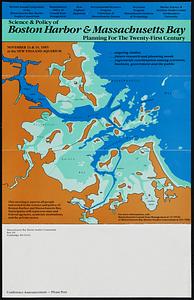
Science & policy of Boston Harbor symposium poster
202.
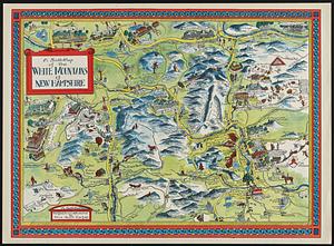
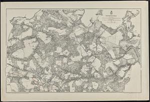
A Scott-Map of the White Mountains of New Hampshire
203.
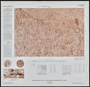
Shaded relief map of the Aeolis quadrangle of Mars : MC-23, M 5M-15/202 RN
204.
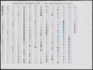
Shadesets
205.
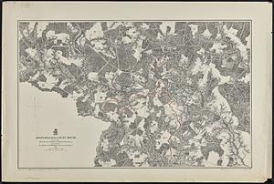
Spottsylvania Court House
206.
State of Maine
207.
States of Massachusetts, Rhode Island and Connecticut : base map with highways and contours
208.
States of Massachusetts, Rhode Island and Connecticut : base map with highways and contours
209.
States of Massachusetts, Rhode Island and Connecticut : shaded relief
210.
Totopotomoy
211.
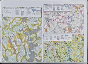
Town of Sherborn protected open space and land use
212.
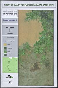
Trans Sahara Railway project
213.
Twenty years of change on the Massachusetts coastline : maps and statistics, 1951-1971
214.
The United States of America circa 1900
215.
U.S. Coast Survey classification and rules for the miscellaneous lettering of names &c. on the map, not connected with title or...
216.
Views of Cape Ann
217.
VOC contamination and public water supplies in the commonwealth of Massachusetts
218.
Water resources in southeastern Massachusetts
219.
Whale chart
220.
The Wilderness
« Previous
Next »
1
2
…
7
8
9
10
11
12
Limit your search
Subject
New England--Maps
127
Railroads--New England--Maps
50
Massachusetts--Maps
30
New York (State)--Maps
18
Connecticut--Maps
15
Railroads--New York (State)--Maps
12
Rhode Island--Maps
12
United States--History--Civil War, 1861-1865--Maps
10
more
Subject
»
Place
North and Central America
199
United States
198
New England
115
Massachusetts
73
New York
22
Connecticut
16
Rhode Island
15
Boston
14
more
Place
»
Format
Maps/Atlases
218
Ephemera
2
Documents
1
Manuscripts
1
Posters
1
Available to use
No known restrictions
197
Creative Commons license
1
Date
View distribution
Current results range from
1614
to
2009
Date range begin
Date range end
View larger »
Collection
Norman B. Leventhal Map & Education Center Collection
197
Boston and New England Maps (Collection of Distinction)
132
David Judkins Weaver Papers
96
American Revolutionary War-Era Maps (Collection of Distinction)
10
American Antiquarian Society Collection
9
Urban Maps (Collection of Distinction)
8
Historic Maps
7
Sidney R. Knafel Map Collection at Phillips Academy
4
more
Collection
»
Institution
Boston Public Library
197
American Antiquarian Society
9
Salem State University Archives and Special Collections
7
Phillips Academy
4
Jones Library, Amherst
2
Holmes Public Library
1
Massachusetts Historical Society
1