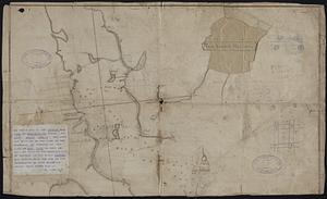
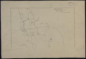
101. New Bedford Harbor Creator: Leslie, David (Shipmaster) Format: Maps/Atlases; Manuscripts Collection: Map and Chart Collection Date: [ca. 1815] Institution: New Bedford Free Public Library
102. New Bedford Harbor Creator: Leslie, David (Shipmaster) Format: Maps/Atlases; Manuscripts Collection: Map and Chart Collection Date: [ca. 1800–1815] Institution: New Bedford Free Public Library
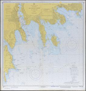
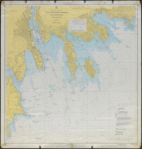
103. New Bedford Harbor and Approaches Format: Maps/Atlases Collection: Map and Chart Collection Date: 1973 Institution: New Bedford Free Public Library
104. New Bedford Harbor and Approaches Format: Maps/Atlases Collection: Map and Chart Collection Date: 1958 Institution: New Bedford Free Public Library
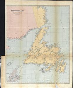
105. Newfoundland Format: Maps/Atlases Collection: Map and Chart Collection Date: [ca. 1860–1939] Institution: New Bedford Free Public Library
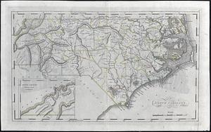
106. North Carolina Format: Maps/Atlases Collection: Map and Chart Collection Date: [ca. 1860–1939] Institution: New Bedford Free Public Library
107. Old Dartmouth Creator: Crapo, Henry Howland, 1804-1869 Format: Maps/Atlases; Manuscripts Collection: Map and Chart Collection Date: 1841 Institution: New Bedford Free Public Library
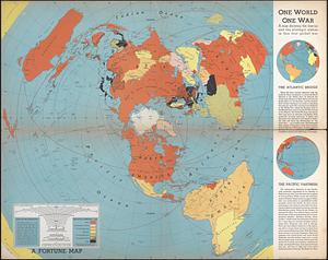
108. One World One War : A map showing the line-up and the strategic stakes in this first global war Creator: Harrison, Richard Edes Format: Maps/Atlases Collection: Map and Chart Collection Date: (c) 1942 Institution: New Bedford Free Public Library
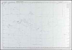
109. Pacific Ocean in four sheets Format: Maps/Atlases Collection: Map and Chart Collection Date: (c) 1966 Institution: New Bedford Free Public Library
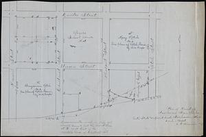
110. Part of Jos Rotch's lot Format: Maps/Atlases; Manuscripts Collection: Map and Chart Collection Date: [ca. 1800–1899] Institution: New Bedford Free Public Library
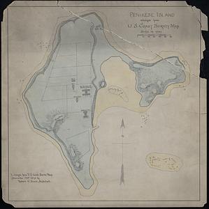
111. Penikese Island enlarged from U.S. Coast Survey Map Format: Maps/Atlases; Manuscripts Collection: Map and Chart Collection Date: December 23, 1873 Institution: New Bedford Free Public Library
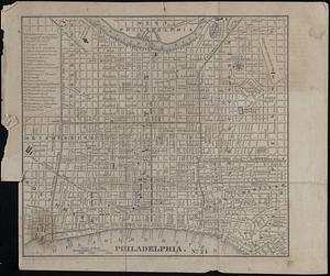
112. Philadelphia Format: Maps/Atlases Collection: Map and Chart Collection Date: 1850 Institution: New Bedford Free Public Library
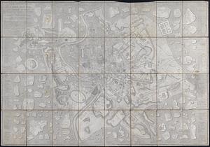
113. Pianta Topografica di Roma Antica Format: Maps/Atlases Collection: Map and Chart Collection Date: 1833 Institution: New Bedford Free Public Library
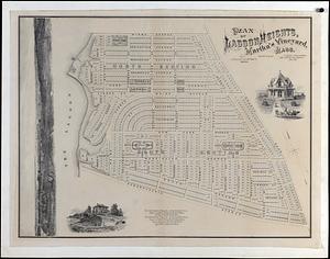
114. Plan of Lagoon Heights, Martha's Vineyard, Mass Format: Maps/Atlases Collection: Map and Chart Collection Date: 1873 Institution: New Bedford Free Public Library
115. Plan of Land of Fairhaven Iron Works Format: Maps/Atlases; Manuscripts Collection: Map and Chart Collection Date: 1887 Institution: New Bedford Free Public Library
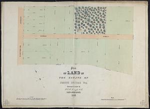
116. Plan of Land of the Estate of Joseph Dunbar Esq. Format: Maps/Atlases Collection: Map and Chart Collection Date: 1859 Institution: New Bedford Free Public Library
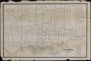
117. Plan of New Bedford Format: Maps/Atlases Collection: Map and Chart Collection Date: 1847 Institution: New Bedford Free Public Library
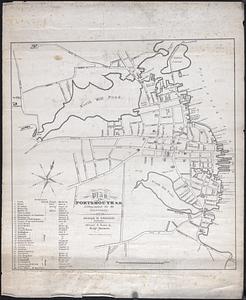
118. Plan of Portsmouth N.H. Creator: Akerman, Benjamin Format: Maps/Atlases Collection: Map and Chart Collection Date: 1839 Institution: New Bedford Free Public Library
119. A Plan of South Boston Format: Maps/Atlases Collection: Map and Chart Collection Date: 1809 Institution: New Bedford Free Public Library
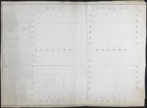
120. Plan of the 26 Men's Purchase in Middleborough Format: Maps/Atlases; Manuscripts Collection: Map and Chart Collection Date: 1865 Institution: New Bedford Free Public Library